Iceland 2021 trip - Part 2: Westfjords
Day 4 (July 27, 2021): Barðastrandarvegur to Patreksfjörður (Day's driving distance: 138 km, Total trip distance: 624.5 km)
We arrived, by ferry, to the Westfjords in the afternoon of July 26; it was still raining. After we settled at our guesthouse, the rain stopped, and we walked across the road to find a "hot pot" -- the Icelandic people like to swim and take a dip at these geothermal pools. This particular one is called Krosslaug hot spring (I think the actual hot spring is somewhere up the mountain, this one probably uses piped water from it).
(Click on each image to see the high-resolution version)
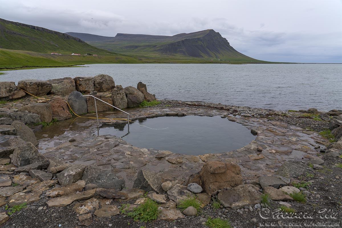
Hot Pot
The Westfjords is the remotest and wildest region in Iceland, a region that we missed during our 2019 trip. This time we would make up for this omission and we allocated a big chuck of our schedule for it. On our first evening, we found a Common Snipe in the backyard of our guesthouse, probably even nesting there. This was an apt prelude to what was to come in the Westfjords for us.
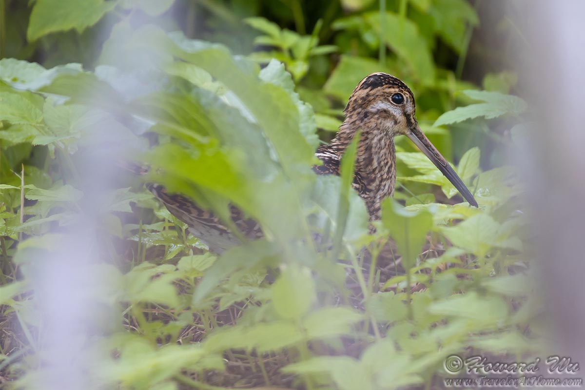
Common Snipe
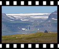
The nest morning (July 27), we woke up to a sunny day! We were happily on the road again. Of course, now that we had left the Snæfellsnes Peninsula, the glacier of Snæfellsjökull was in the sun. But we could not turn back now.
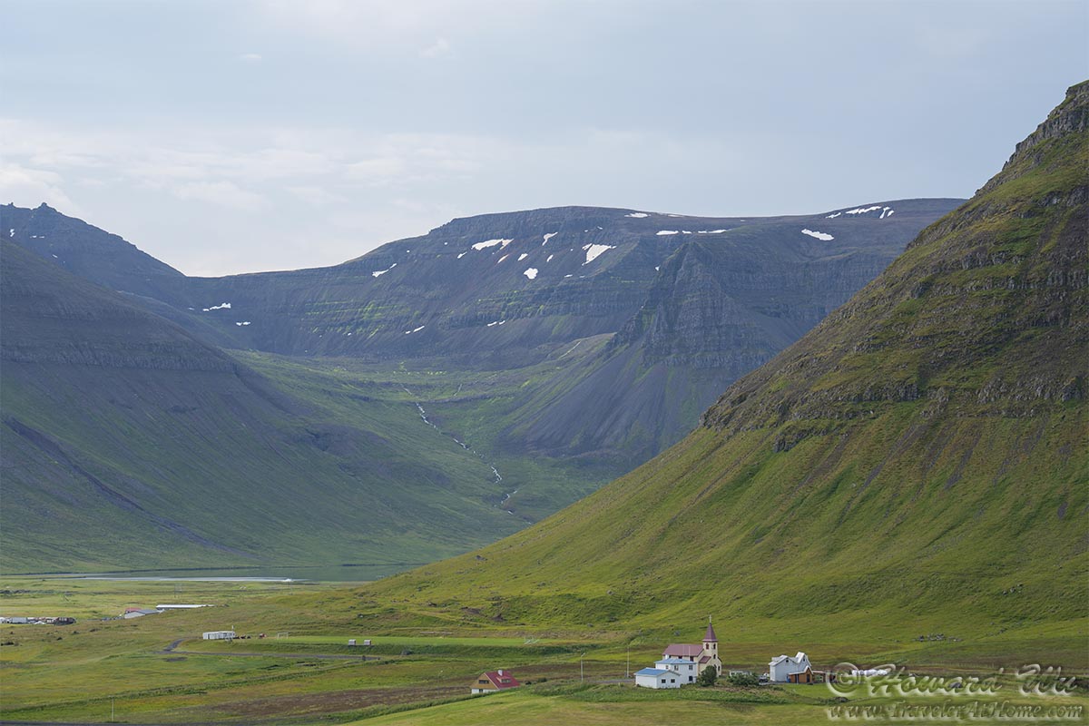
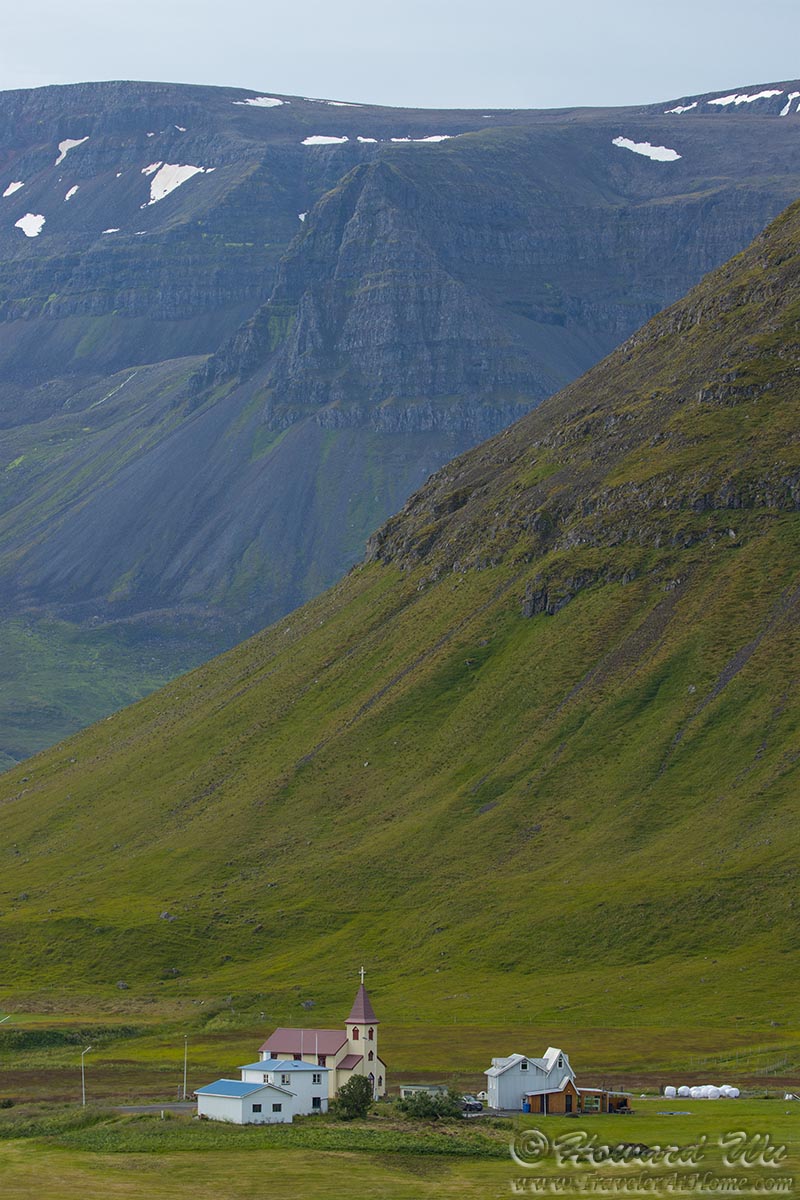
Westfjords
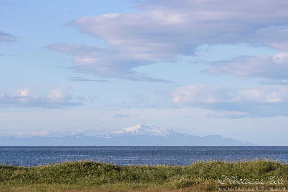
Snæfellsjökull
Instead we headed toward Latrabjarg, "the westernmost point in Iceland and Europe", and the ligthhouse "the westernmost lighthouse in Europe".
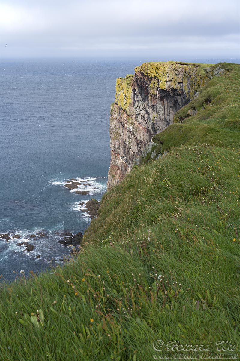
Latrabjarg
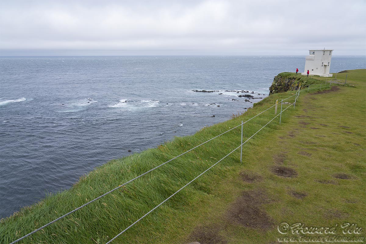
Latrabjarg Lighthouse
And it is likely one of the windiest cape in Europe as well -- upon arrival, we were amazed to see the cargo ship Ulla braving the treacherous seas just offshore.
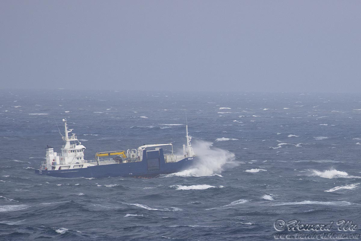
Cargo ship Ulla
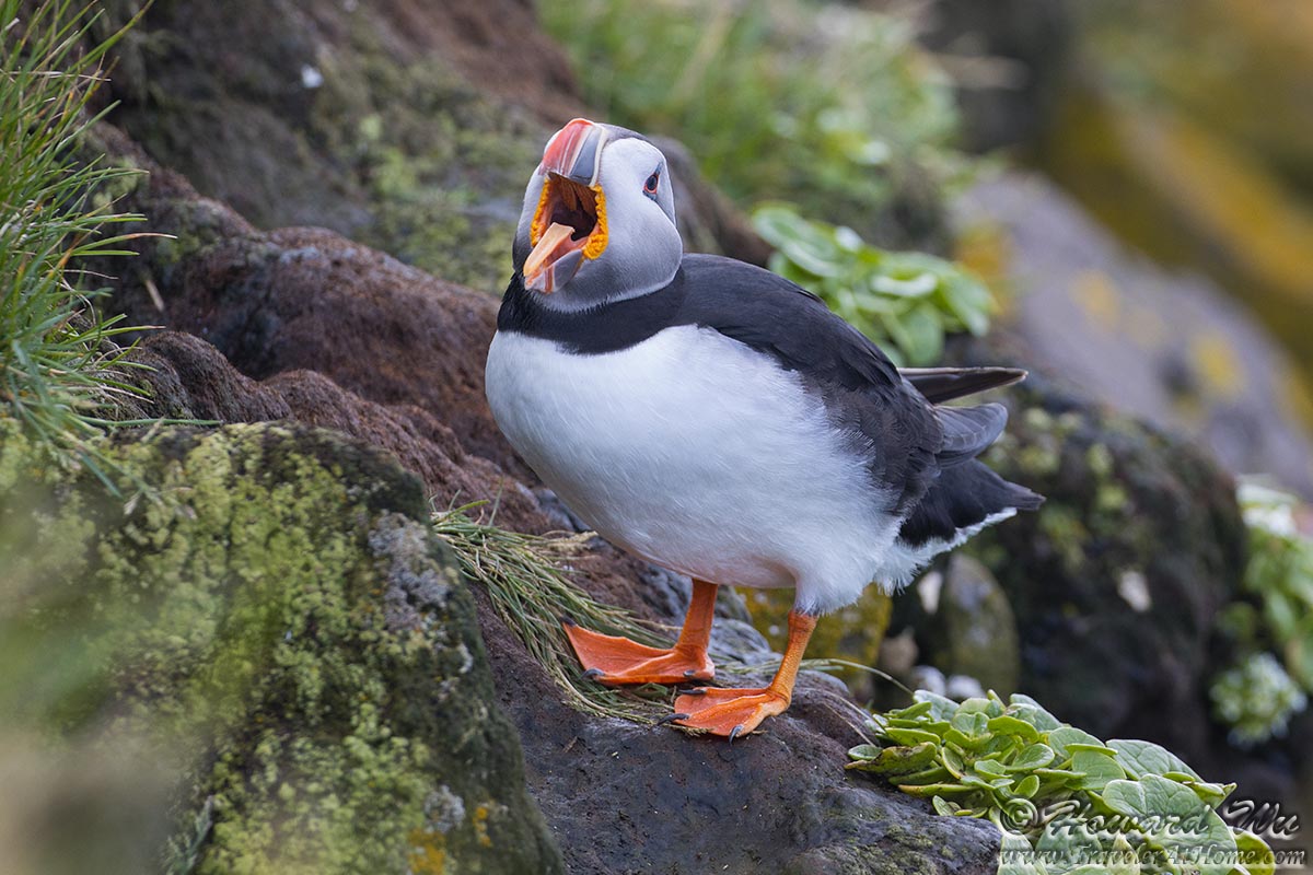
Of course, our main purpose of visiting Latrabjarg is to see the nesting seabirds. The Atlantic Puffins are the most recognizable nesting birds on these spectacular cliffs.
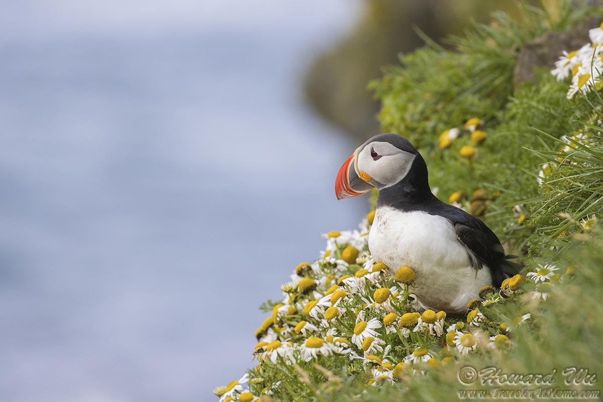
Atlantic Puffin
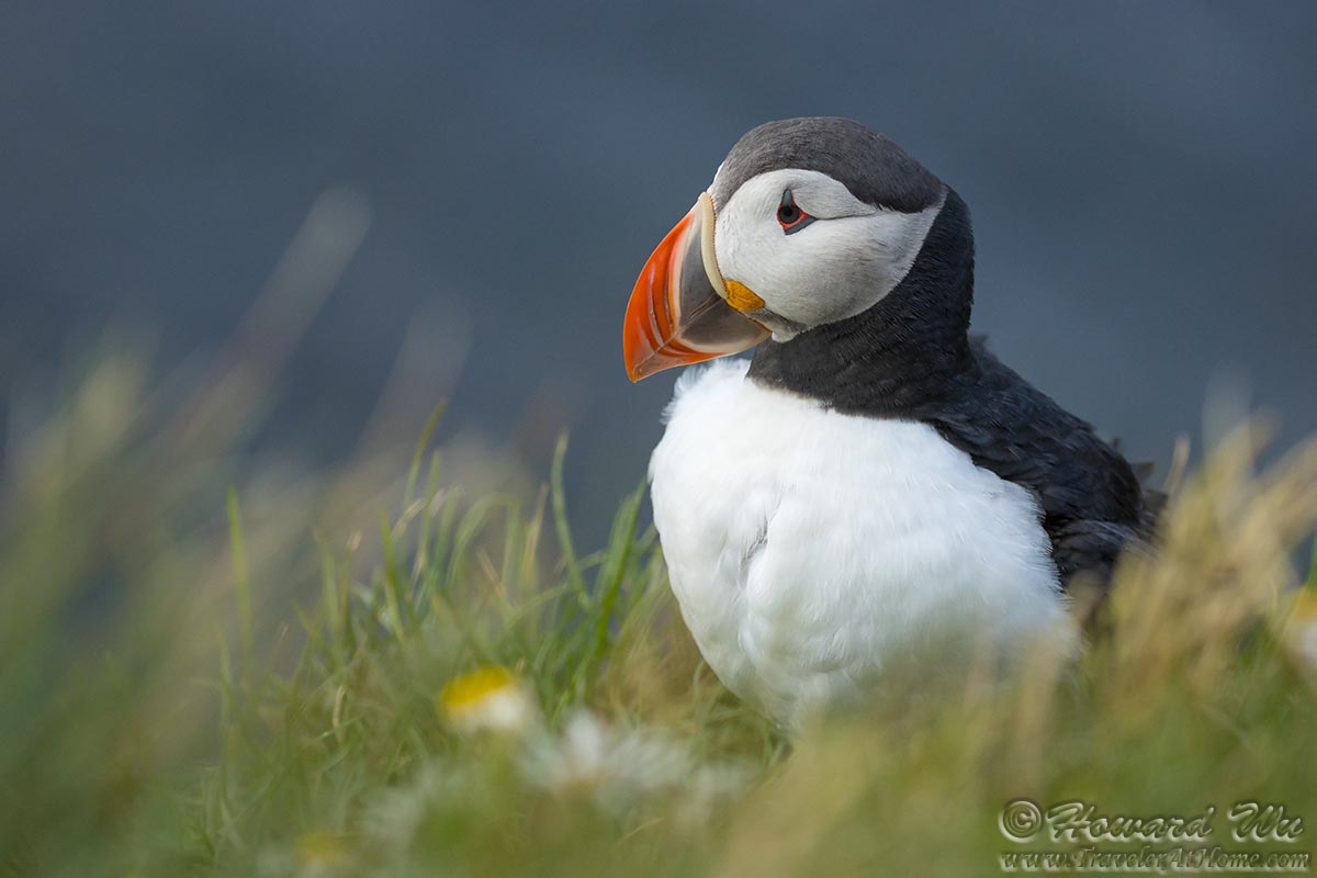
Atlantic Puffin

Atlantic Puffin
Atlantic Puffin
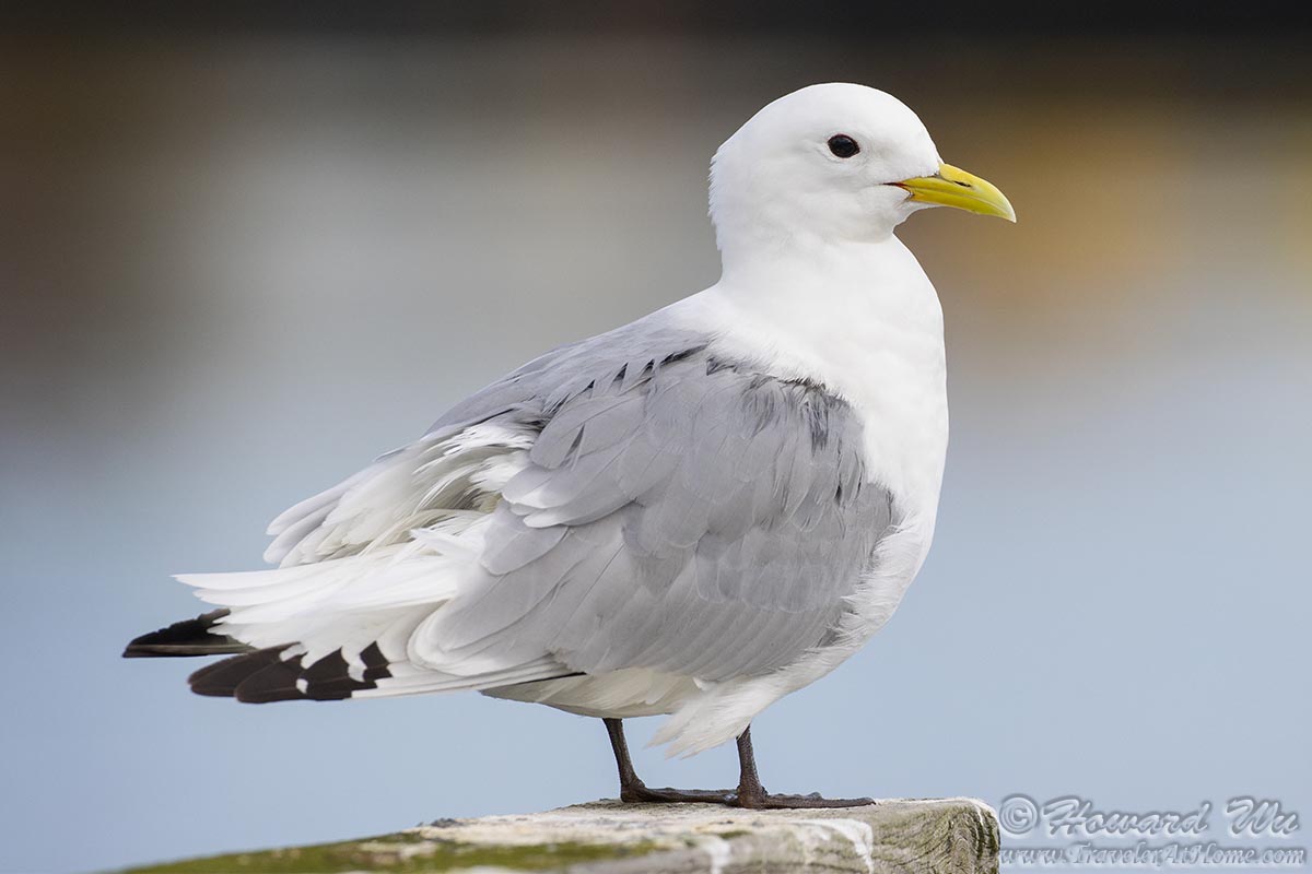
Other seabirds also nest there, such as this Black-legged Kittiwake, as well as murres, Razorbills, etc.
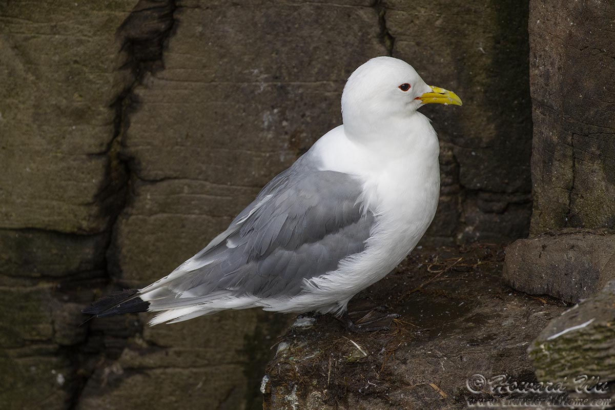
Black-legged Kittiwake
After Latrabjarg we retraced our steps back and stopped at Breidavik Beach.
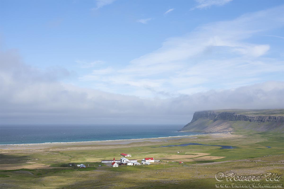
Breidavik Beach
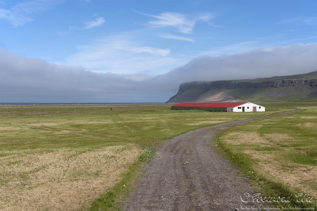
Breidavik Beach
As we walked toward the beach, we noticed not only the sweeping scenery, but also the intricate plants there, such as this cluster of wildflowers (Saxifrage?) and the downy cottongrass.

Wildflowers
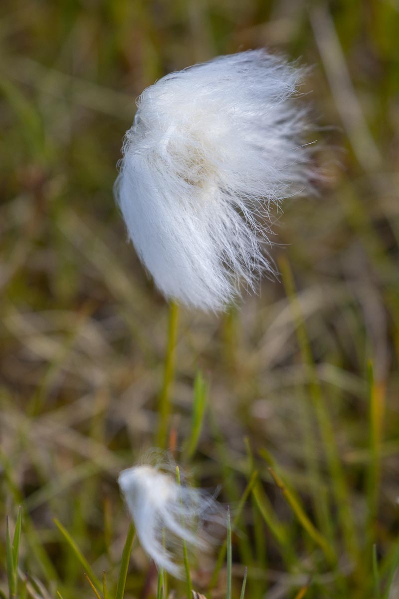
Cottongrass
Further along, we stopped at Hnjotur, where there is the Egill Olafsson Museum. Just outside the museum, the valley Orlygshofn extends toward the fjord of Patreksfjörður, across which our day's destination lies.
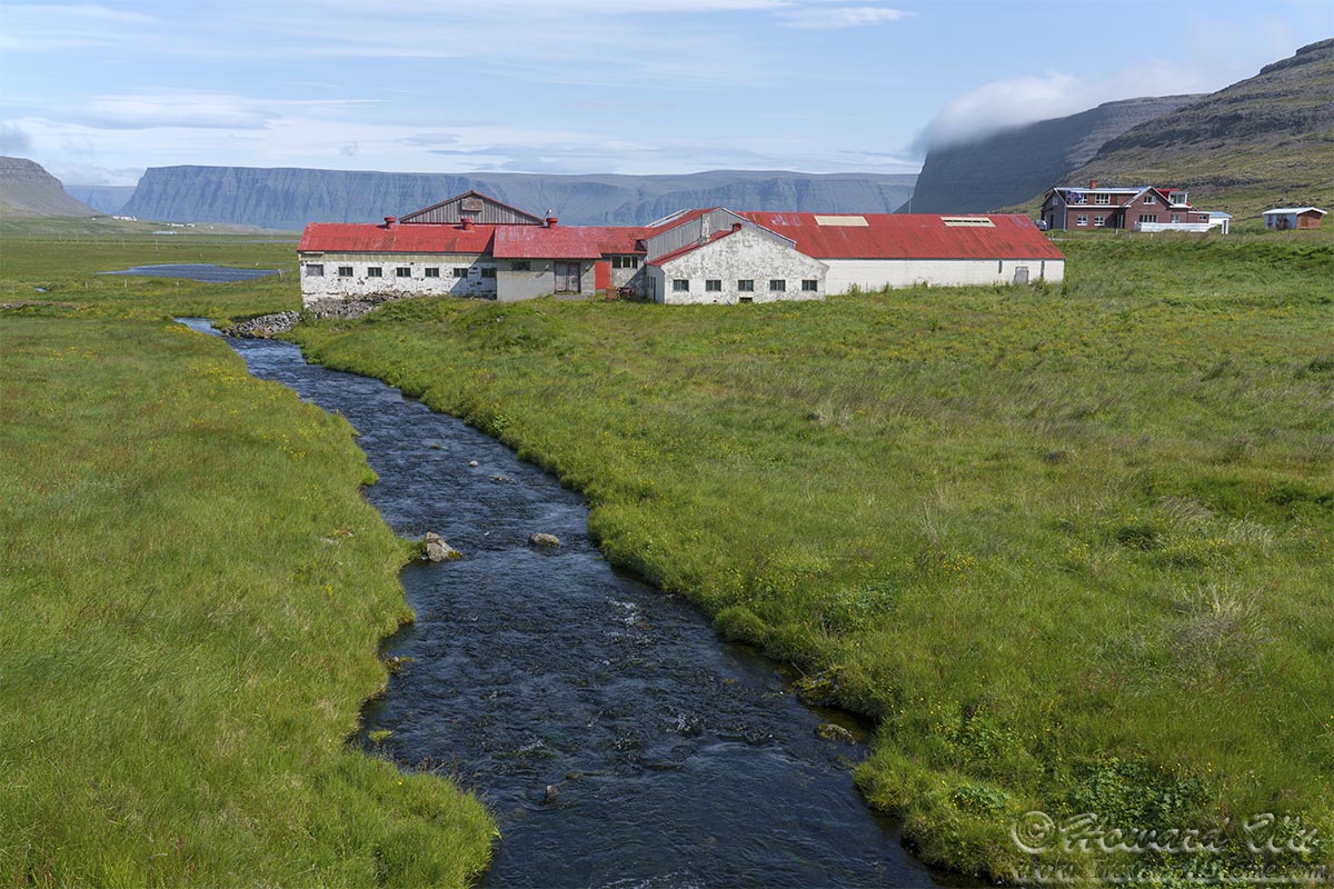
Hnjotur
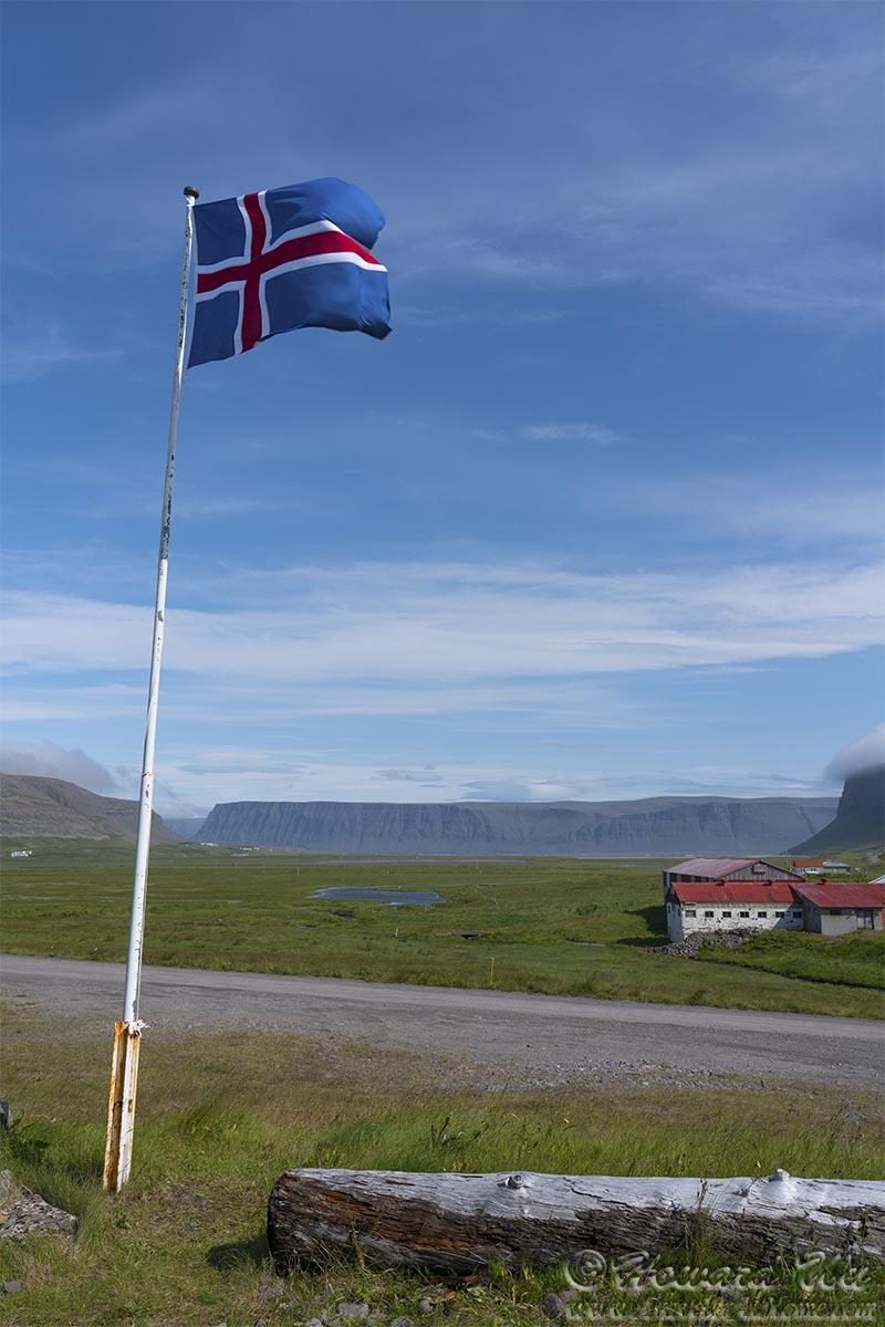
Hnjotur

Hnjotur
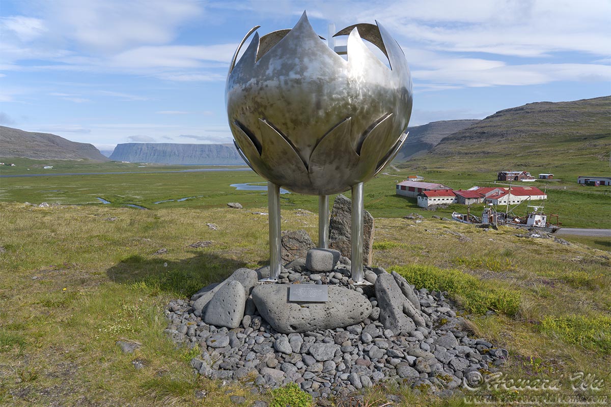
Hnjotur
The museum exhibits the doomed British trawler Dhoon (from 1947), and some relic U.S. military planes.
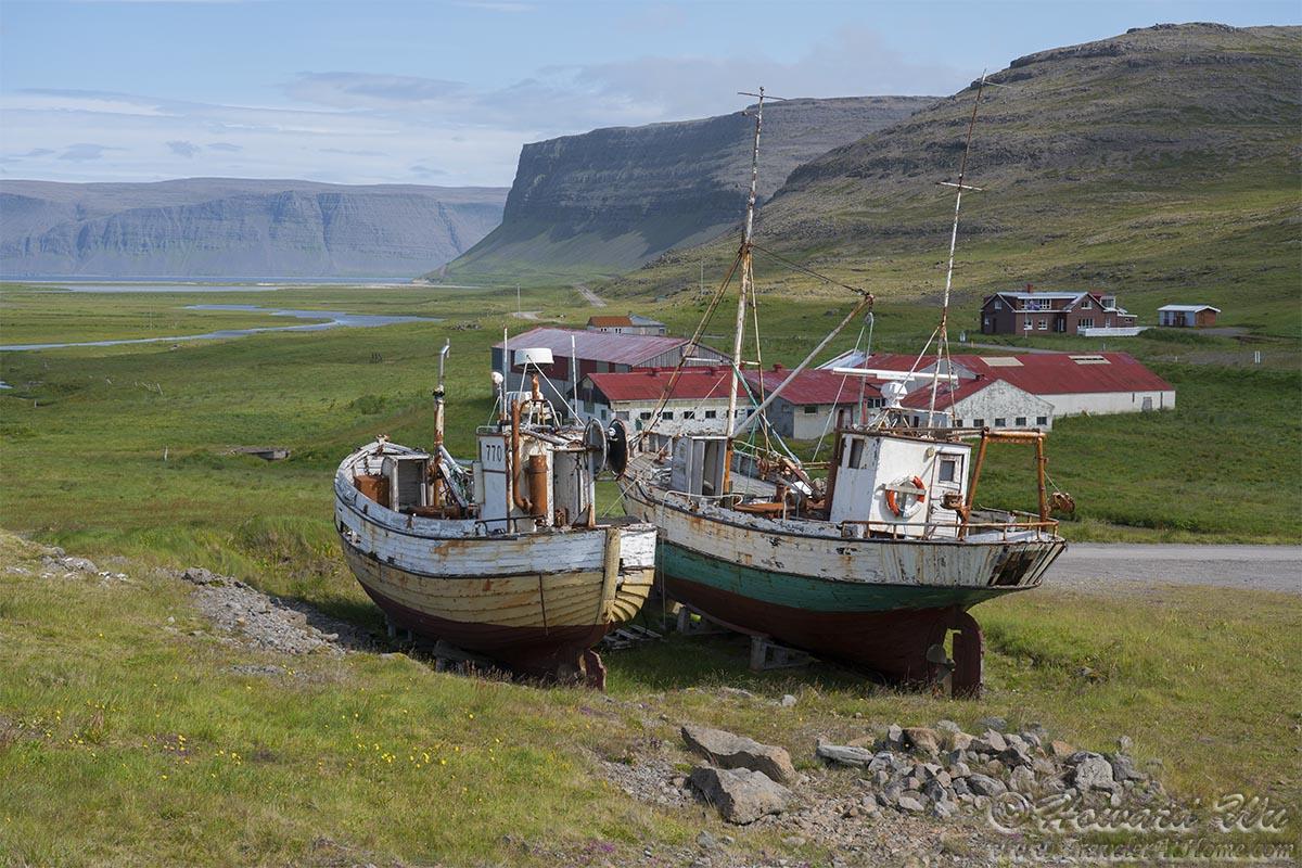
Hnjotur boats

Hnjotur plane
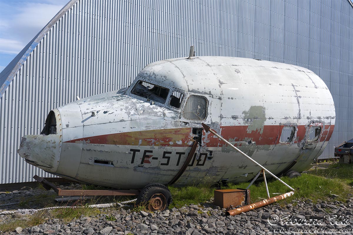
Hnjotur plane
At another beach in Skápadalur Valley we stopped to examine the Garðar BA 64, an out-of-service Norwaygian whaling ship.
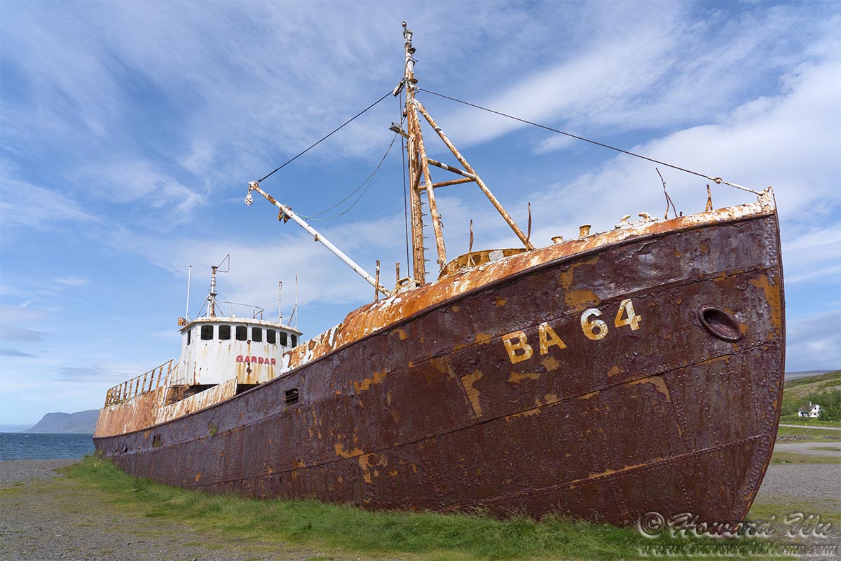
Garðar BA 64
Day 5 (July 28, 2021): Patreksfjörður to Ísafjörður (Day's driving distance: 194 km, Total trip distance: 818.5 km)
We stayed the night in Patreksfjörður ("the fjord of St Patrick"), a fishing village with Irish roots. However, again, we woke up to a cloudy sky.
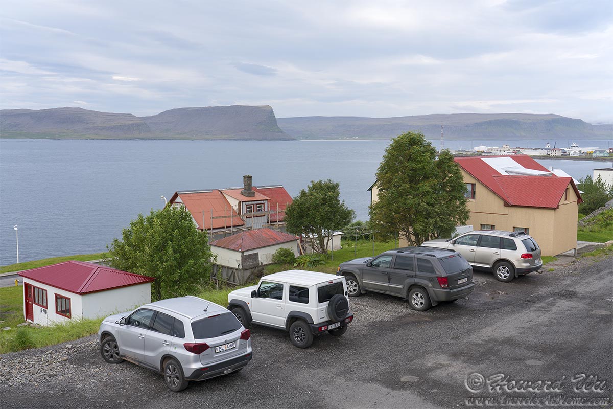
Patreksfjordur
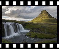
Undeterred, we continued our journey. On this day, we would find our way to Dynjandi, the largest waterfall in the Westfjords. The name "Dynjandi" means "Thunderous waterfall", and it surely is true to its name.
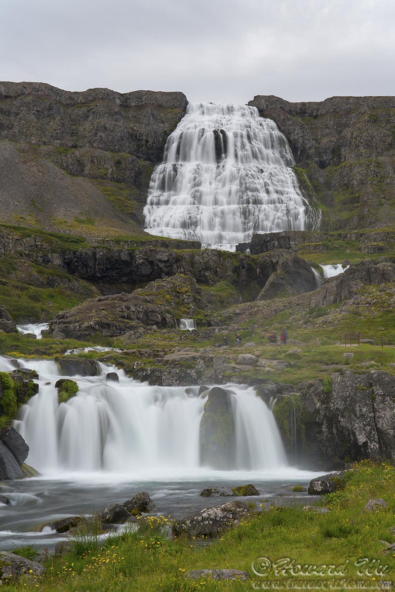
Dynjandi Falls
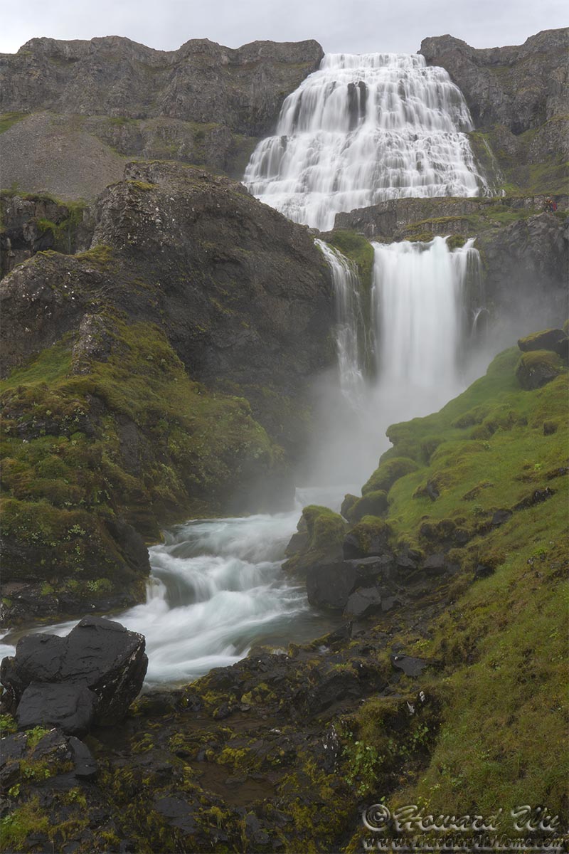
Dynjandi Falls
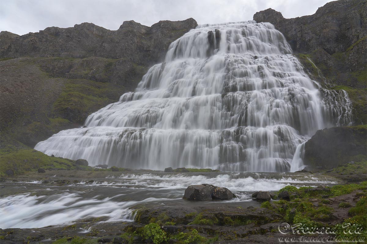
Dynjandi Falls
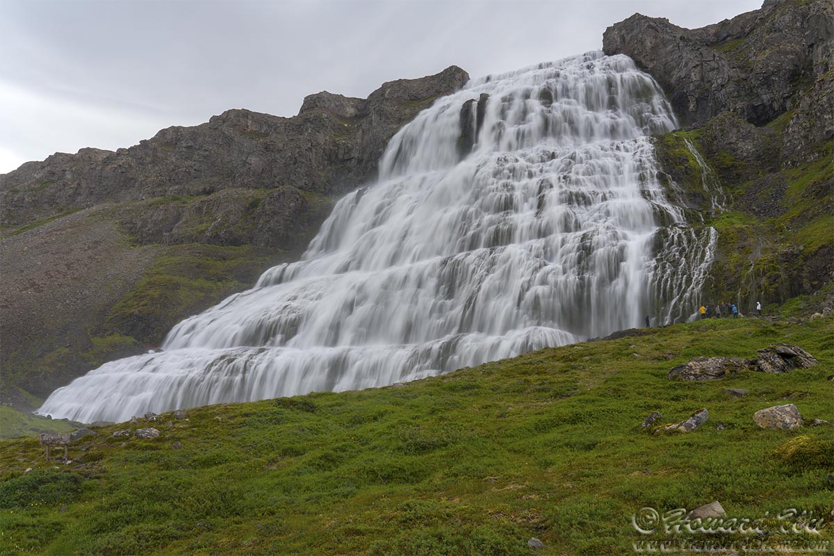
Dynjandi Falls
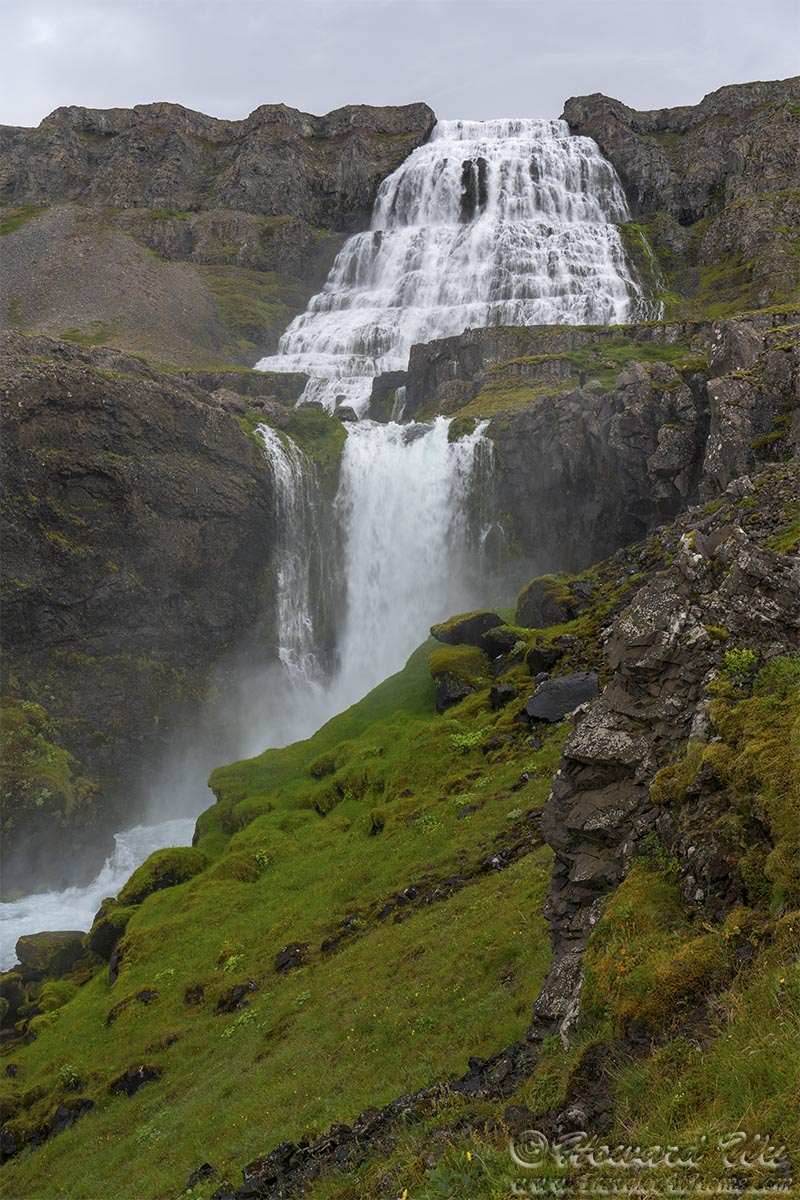
Dynjandi Falls
We hiked to the bottom of the uppermost waterfall. From there, we looked back at Arnarfjörður, the fjord below.
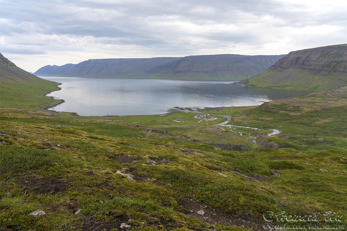
Arnarfjörður
At the parking lot below Dynjandi, a Common Redshank posed for us from a traffic sign.
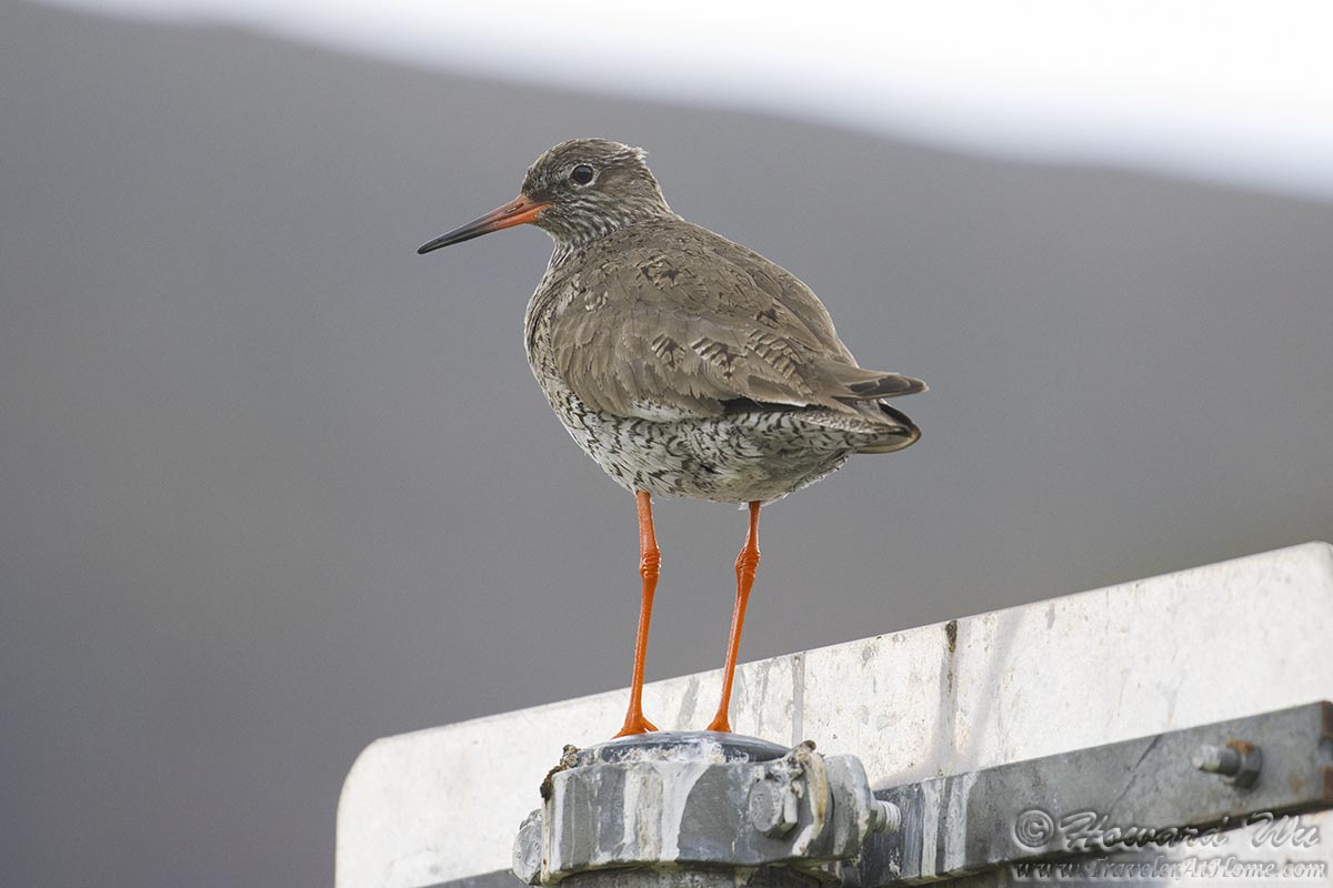
Common Redshank
We made a detour to the small fishing village of Flatery.
Flatery

Flatery
There were giant murals of seabirds on the wall of a building, this Eurasian Oystercatcher is vividly depicted.
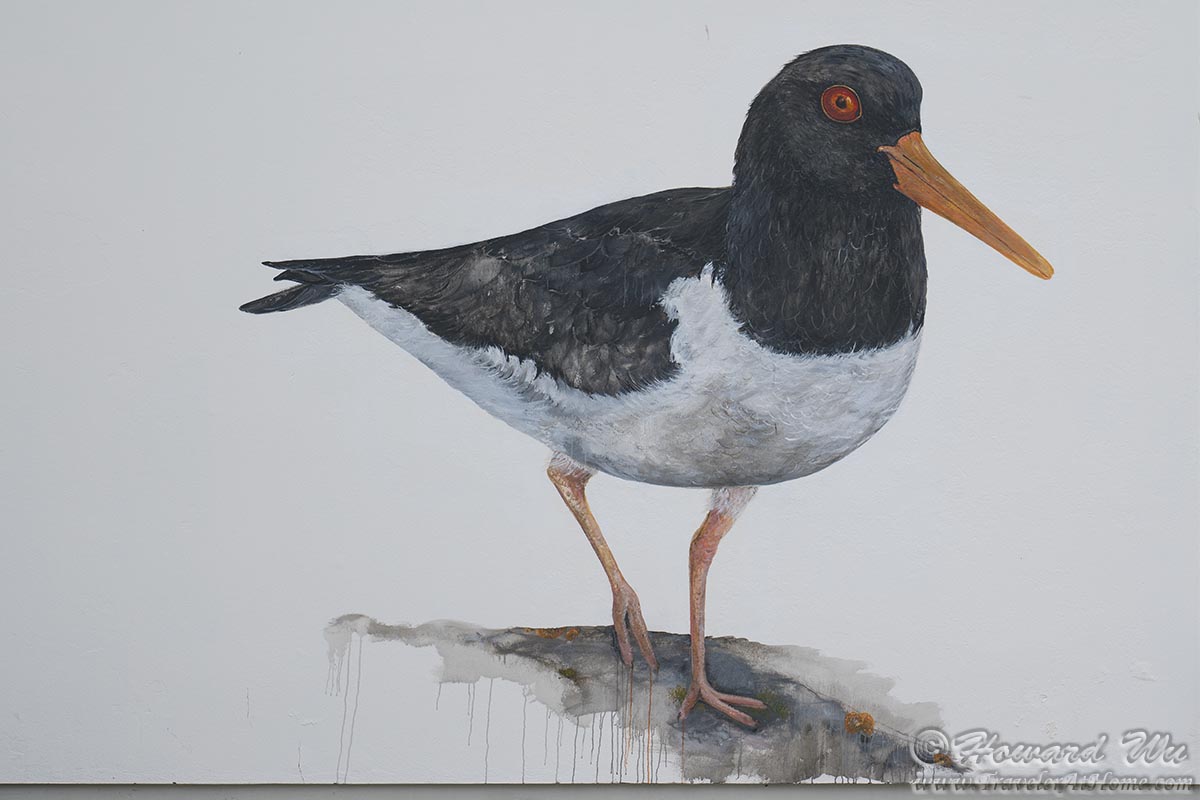
Oystercatcher Mural
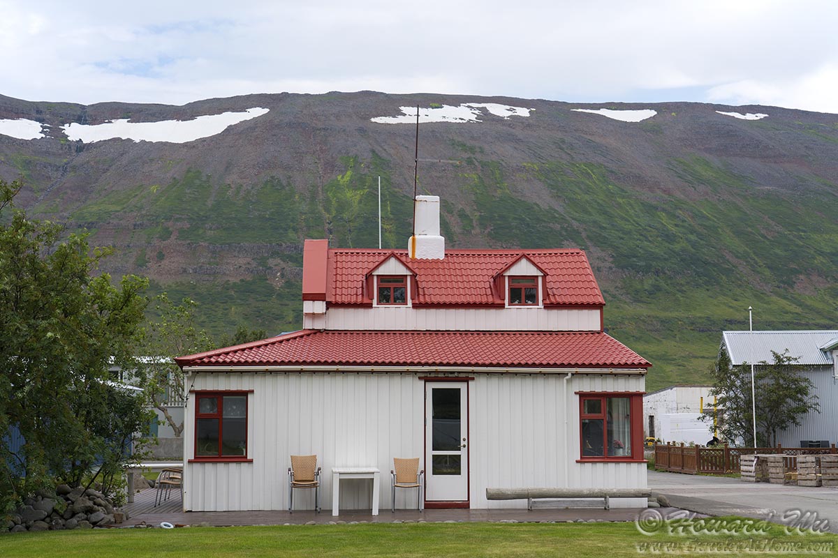
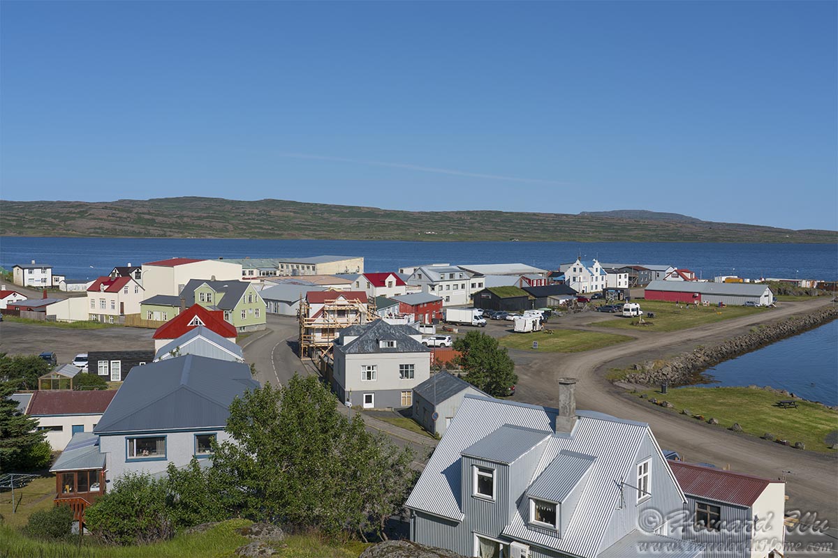
We ended this day's journey in Ísafjörður, the largest settlement in the Westerfjords.
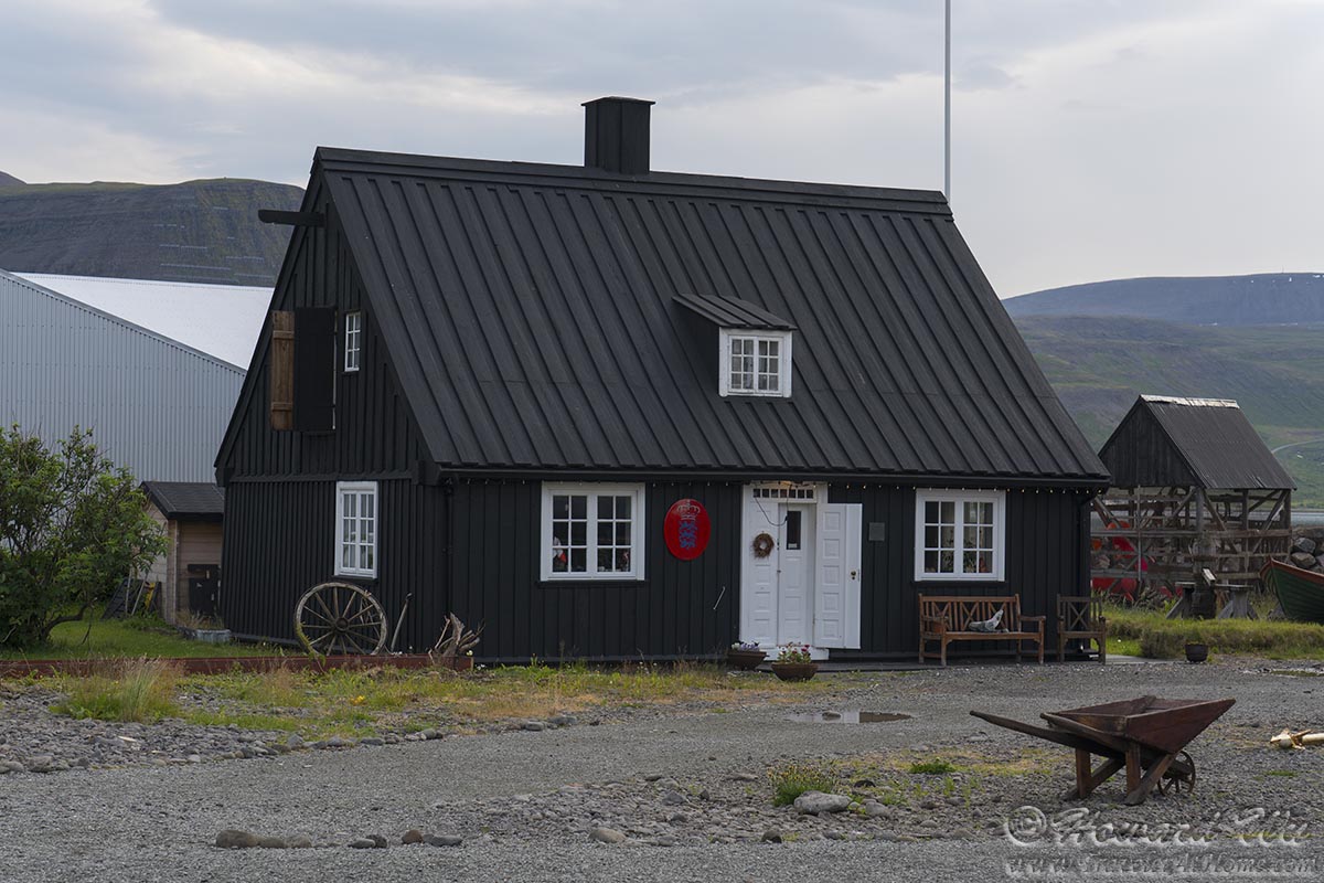
Black House in Ísafjörður
Day 6 (July 29, 2021): Ísafjörður with day trip to Bolungarvík and Suðureyri (Day's driving distance: 81.7 km, Total trip distance: 900.2 km)
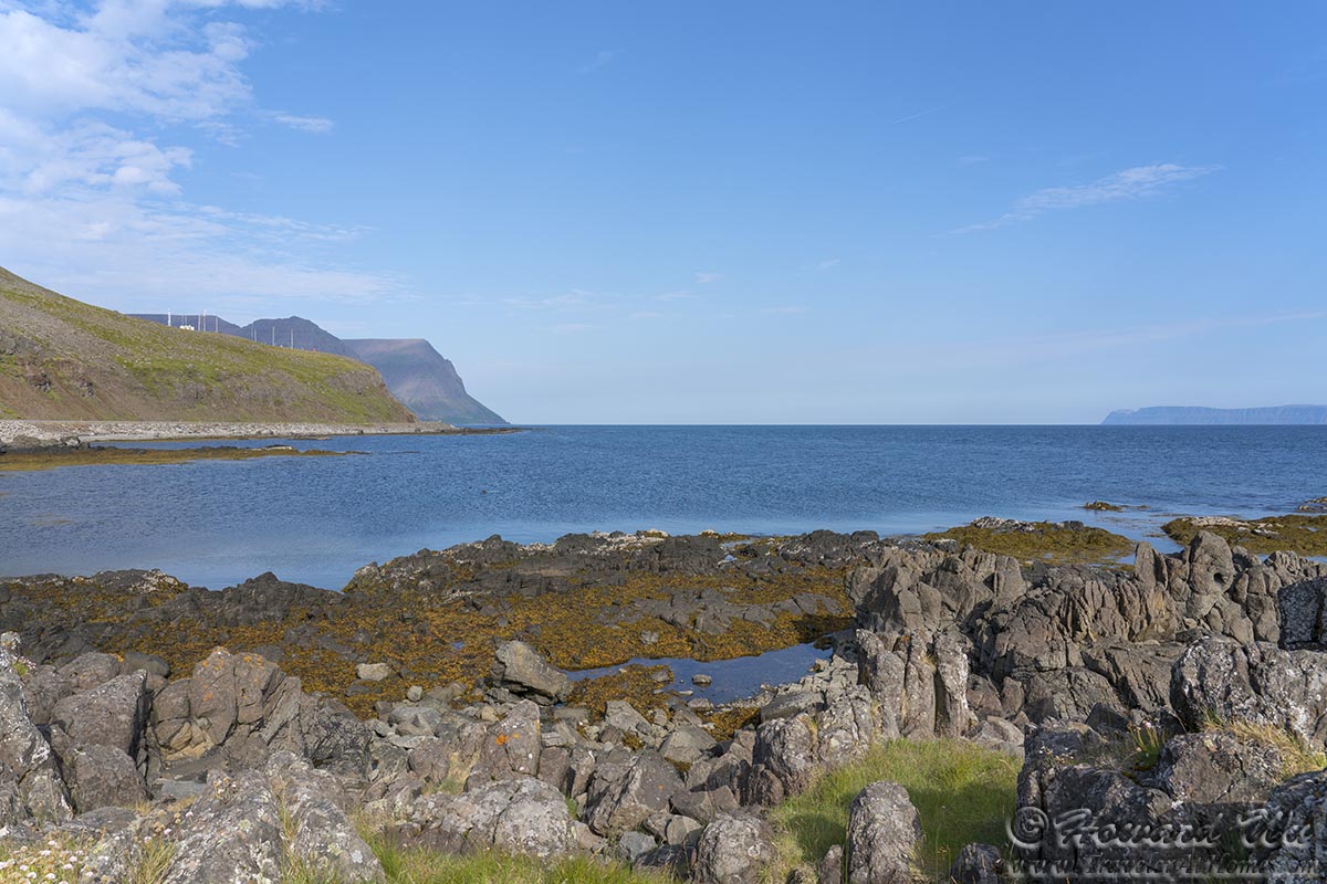
On this day, with Ísafjörður as our base, we struck out to visit a couple of remote fishing villages. The first one was Bolungarvík, the northernmost village in the Westfjords.
Bolungarvík
Bolungarvík
Wildflowers were blooming in the long summer days. Yarrows were abundant in fields and on roadsides.

Yarrow
The harbor in Bolungarvík was a good place to see various birds, undoubtedly attracted by the discarded morsels from fishing boats.
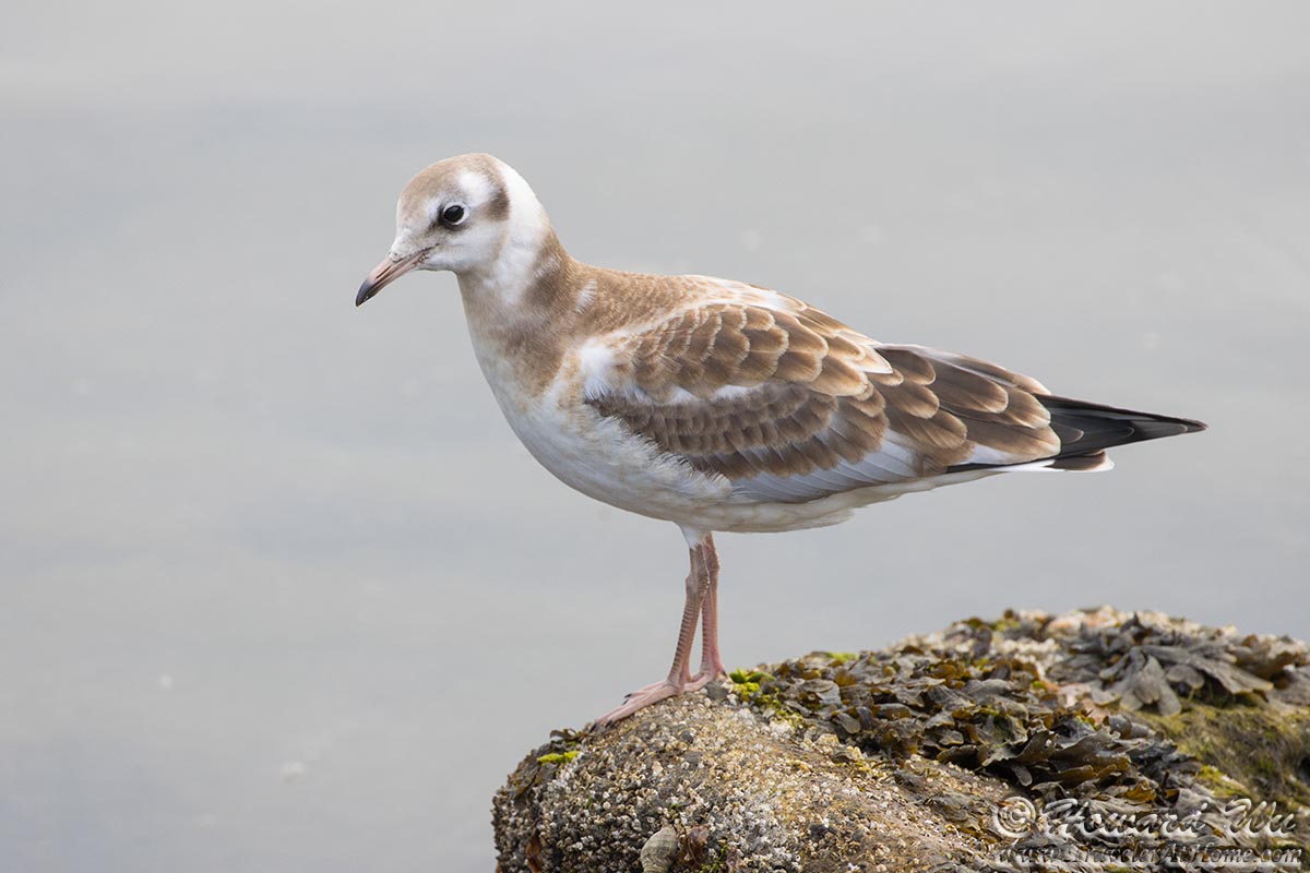
Black-headed Gull
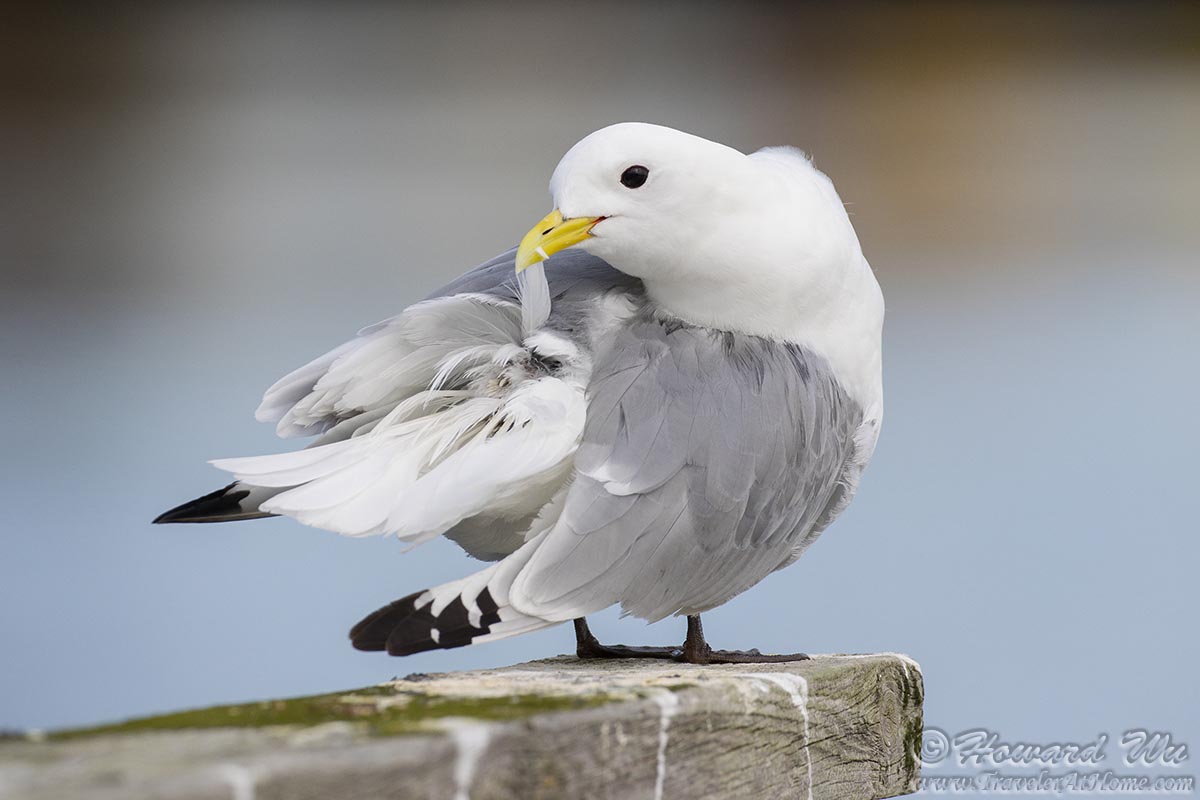
Black-legged Kittiwake
Black-legged Kittiwake

Northern Fulmar

Northern Fulmar

Common Raven
We drove outside town and stopped by the Osvor Maritime Museum (we did not actually go into the museum but walked to the hill across from it). These replicas of Icelandic turf houses give a glimpse of the lives of the hardy Nordic people.
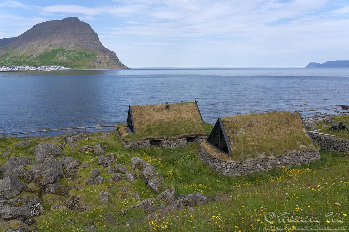
Bolungarvík Turf Houses
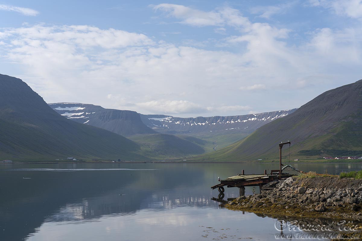
A veiw from the Bolungarvík Lighthouse, looking back into town.

Bolungarvík Lighthouse
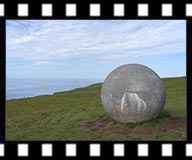
They erected a toposcope on a hill, which shows the various landmarks in all directions, including where Greenland is.
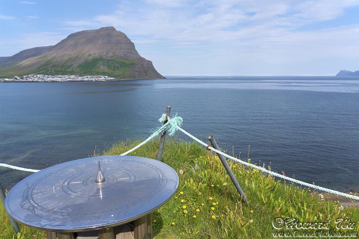
Bolungarvík
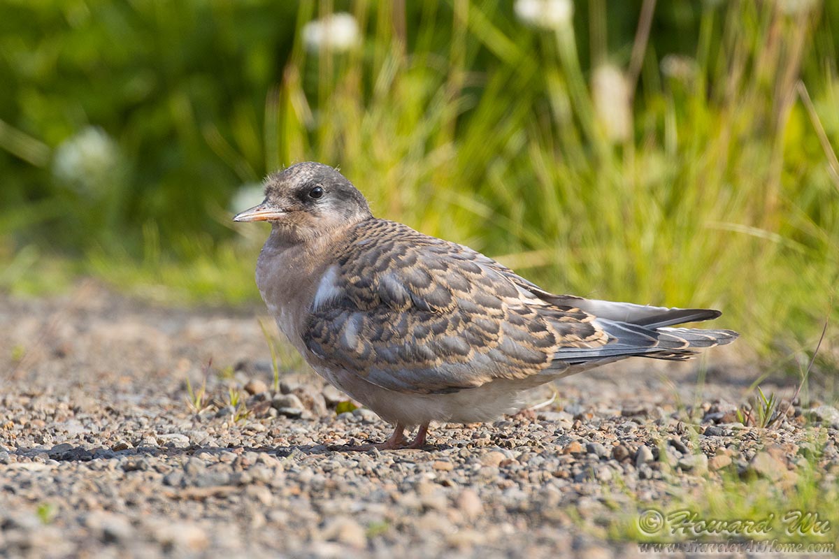
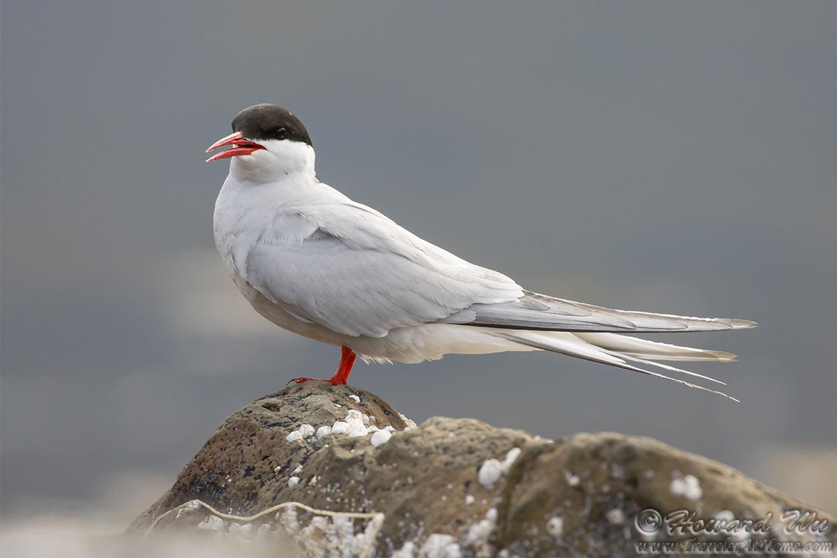
We pulled into a gravelly flat (very carefully), where Arctic Terns nest. The young chicks are already fledged.
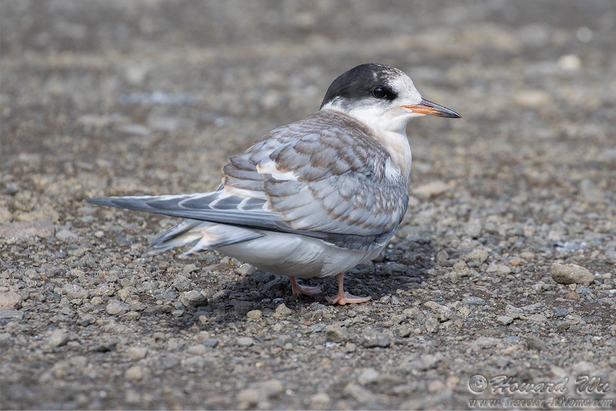
Arctic Tern
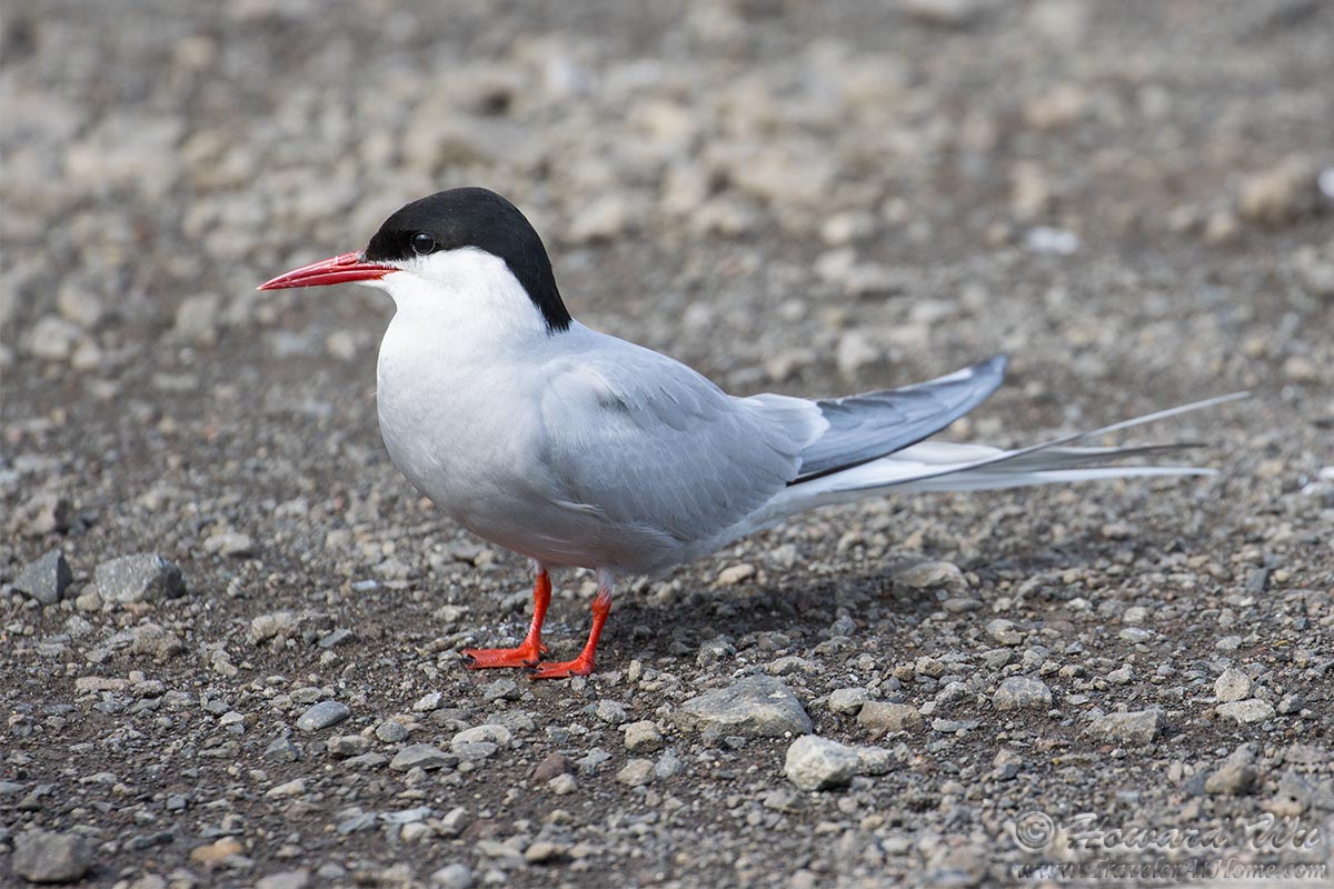
Arctic Tern
The second fishing village that we visited on this day was Suðureyri.
Suðureyri
Suðureyri
We found on the side of a building a drawing of various highlights in Iceland.
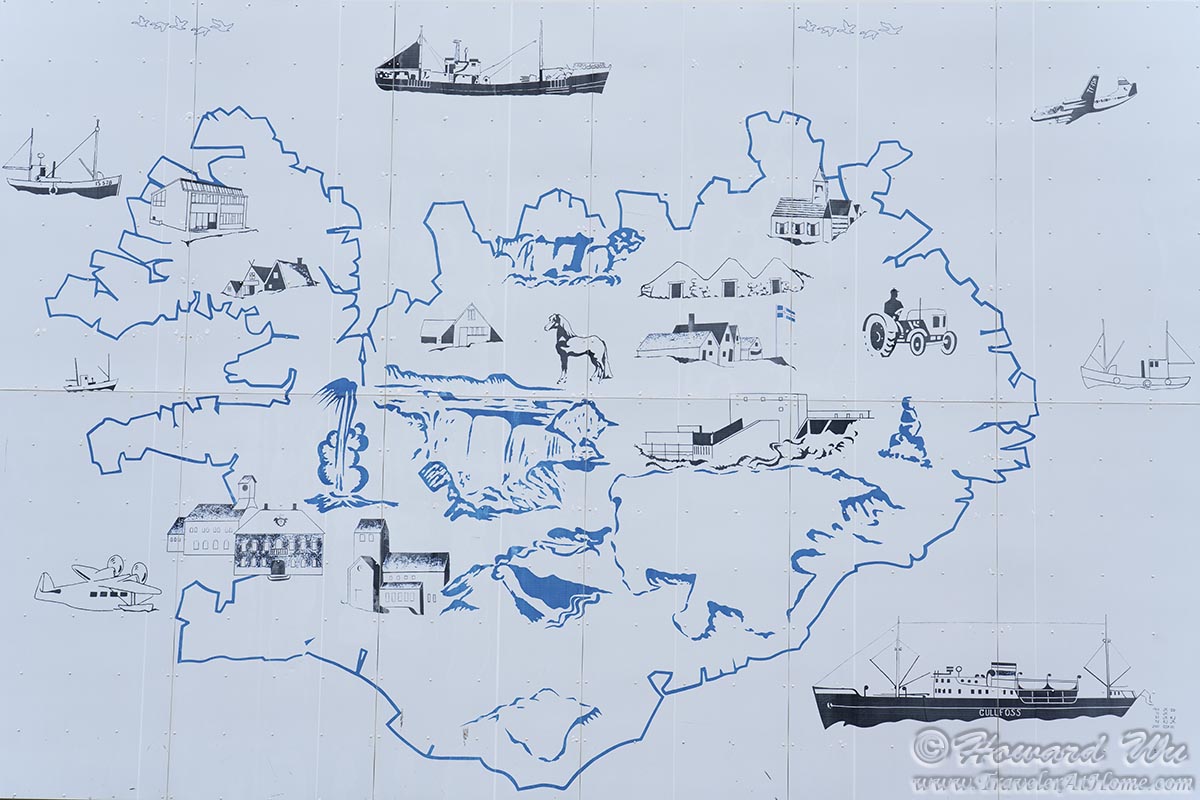
Highlights of Iceland
We returned to Ísafjörður and walked around town. Across from Ísafjarðardjúp, we could see the even more remote regions of the Westfjords, Hornstrandir.

Ísafjörður
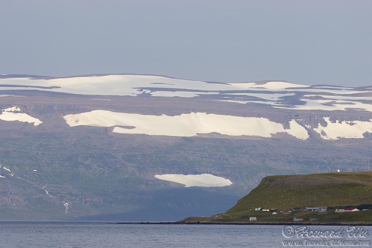
Ísafjörður
Different scenes in Ísafjörður.

Ísafjörður Church
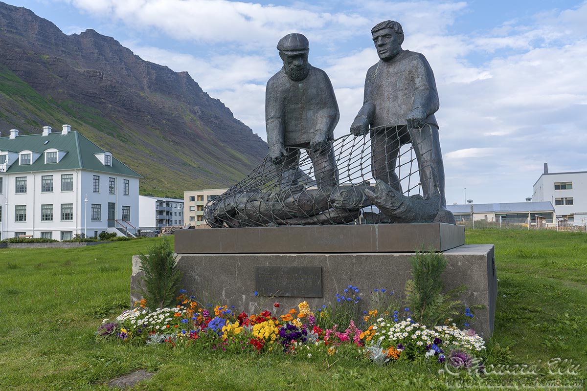
Ísafjörður Fishermen's Monument
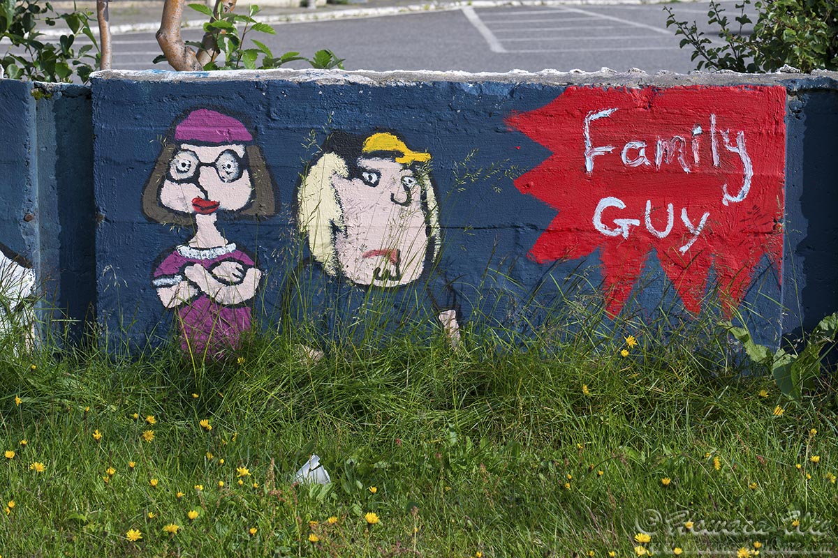
Ísafjörður street art
Ísafjörður has an excellent Brewery, Dokkan Brugghús which has some interesting beers, including a seaweed-flavored red ale.
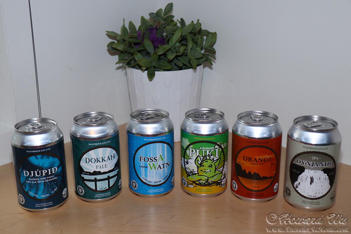
Ísafjörður beers
At the end of town, there were some gravelly flats where Arctic Terns nest, I took a few pictures there too.
Arctic Tern
Arctic Tern
Day 7 (July 30, 2021): Ísafjörður to Holmavik (Day's driving distance: 235 km, Total trip distance: 1135.2 km)
This was our best day in the Westfjords as far as weather was concerned; sadly, it was also our last full day there.
We made a brief stop before heading out of Ísafjörður. At this point, there were still some lingering clouds in the sky.
Ísafjörður
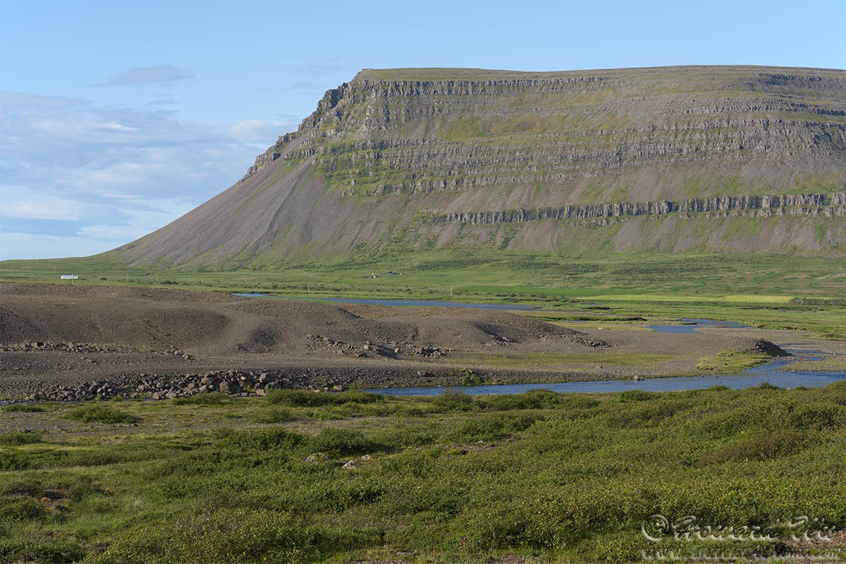
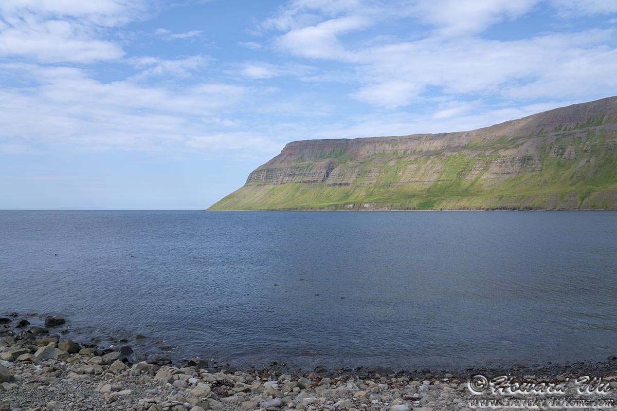
As we started on the road, weather improved. We made frequent stops as there were seemingly picturesque scenery at every turn. The following one was taken just outside Ísafjörður, you can see see the headlands surrounding Ísafjarðardjúp.
Westfjords
As always is the case, we often saw Icelandic sheep grazing by the road.
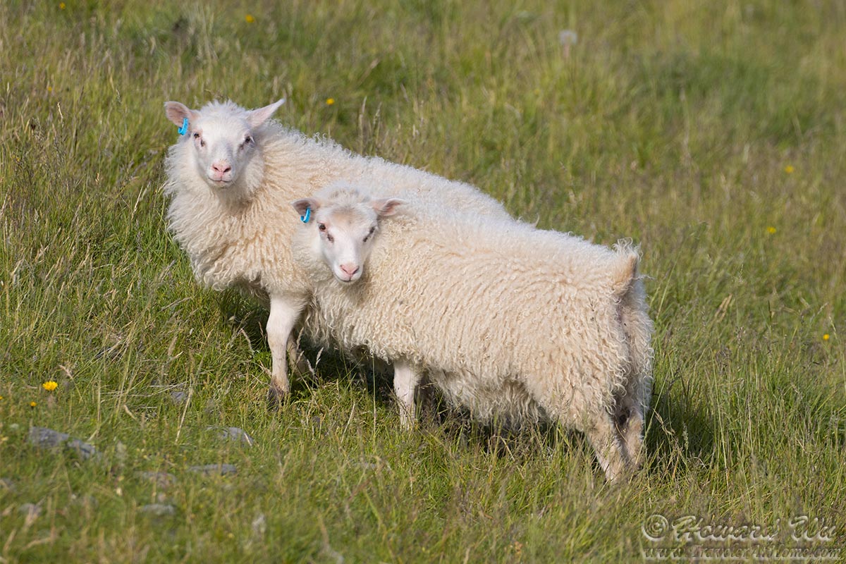
Sheep
Oh, the lonely roads of the Westfjords! The long summer days seem to never end, and on this day, the snow-capped mountains of Hornstrandir dominated the distance horizon.
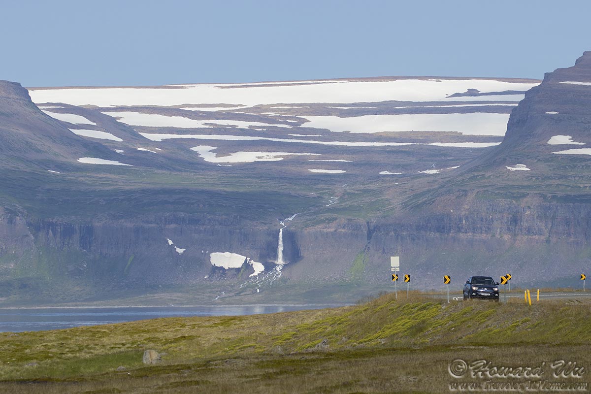
Lonely road in the Westfjords
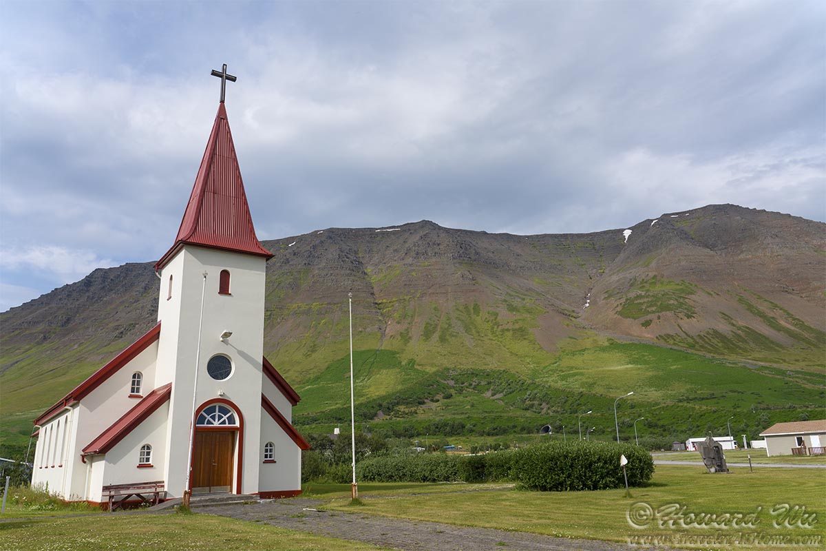
We made a stop in the town of Súðavík.
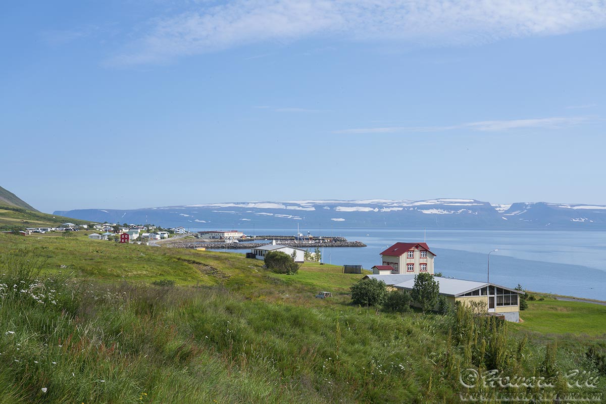
Súðavík
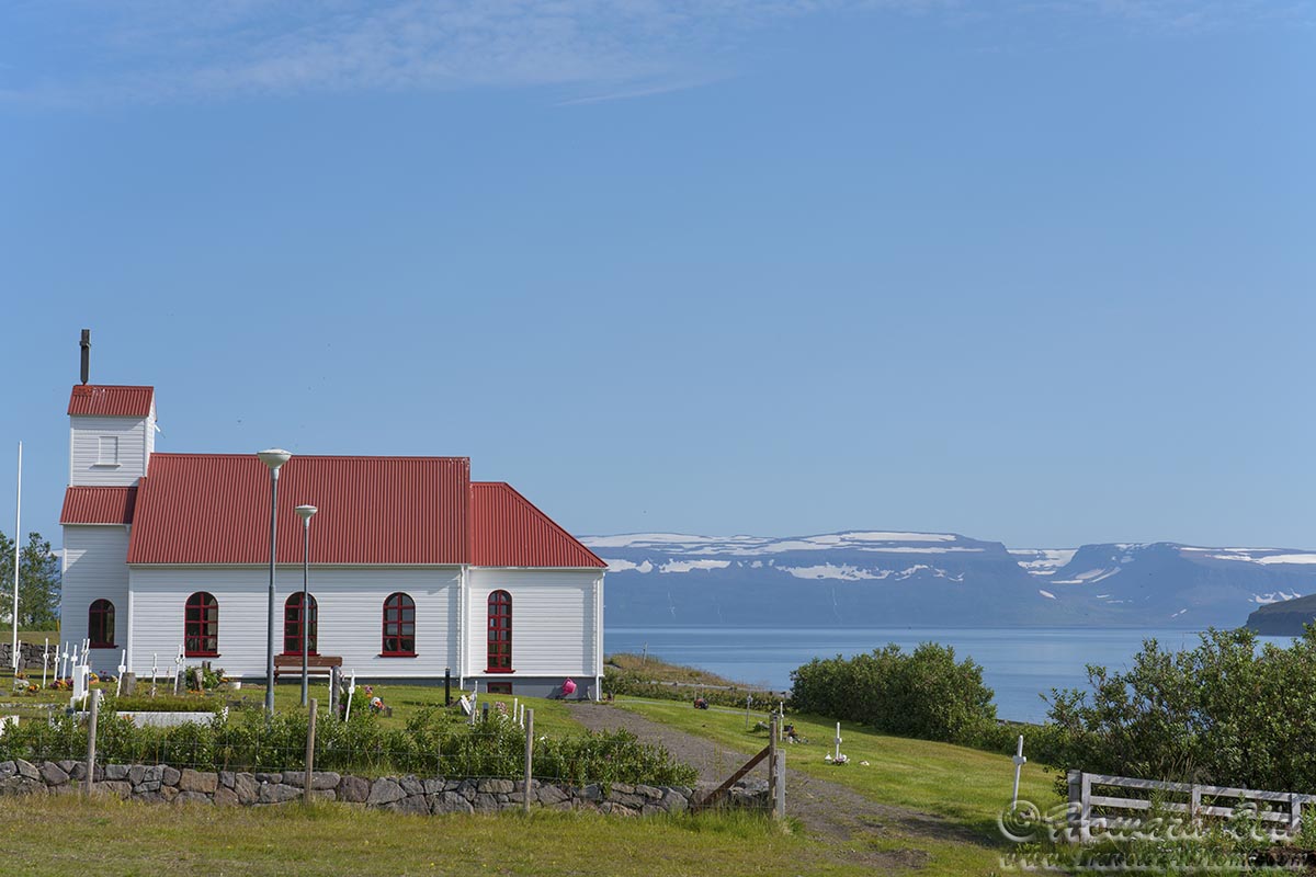
Súðavík Church
The small birds seemed to be more active on this bright sunny day too.

Redwing
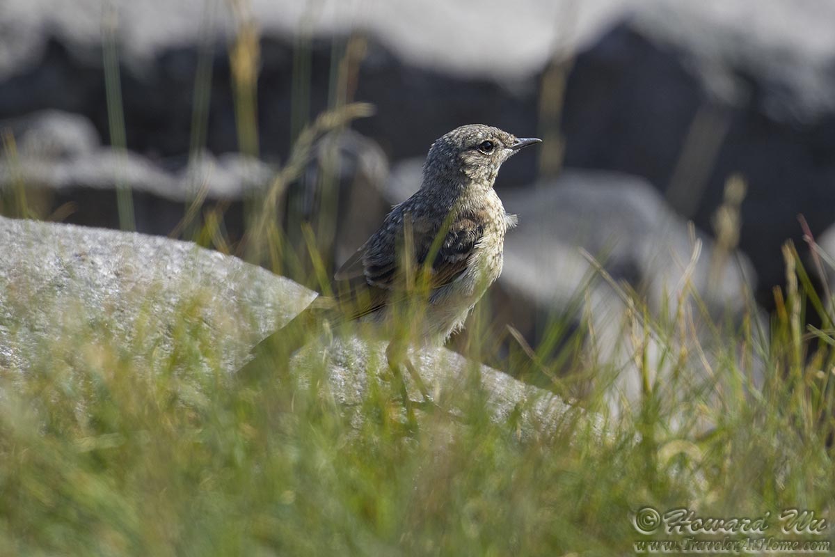
Northern Wheatear
Another stop along the way, this time at a prominent hill with another toposcope shows all points of interest.
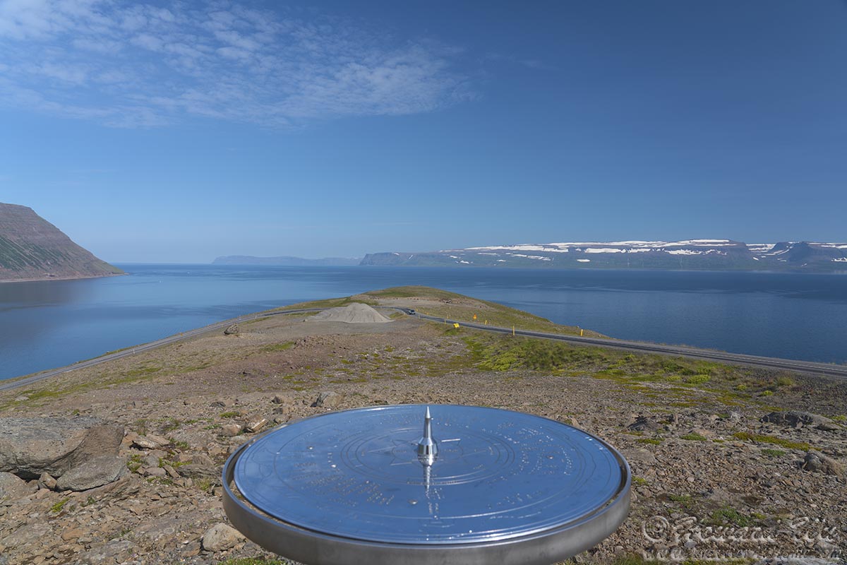
Westfjords
We arrived at Seal Lookout, and sure enough, there were Harbor Seals hauled out on the rocks near shore.
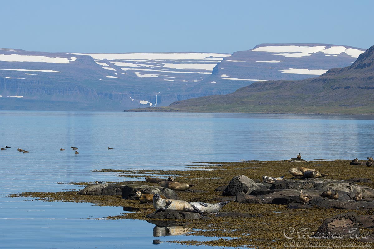
Seal Lookout
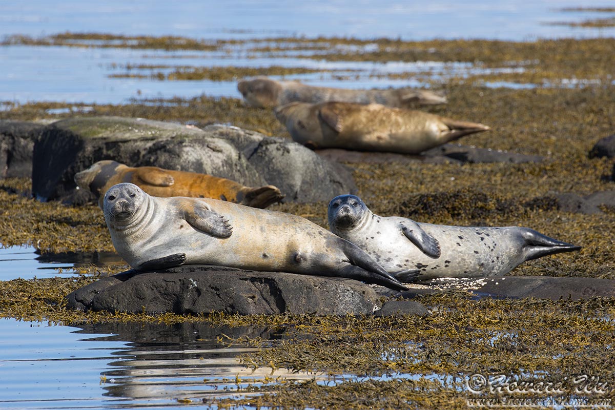
Seals
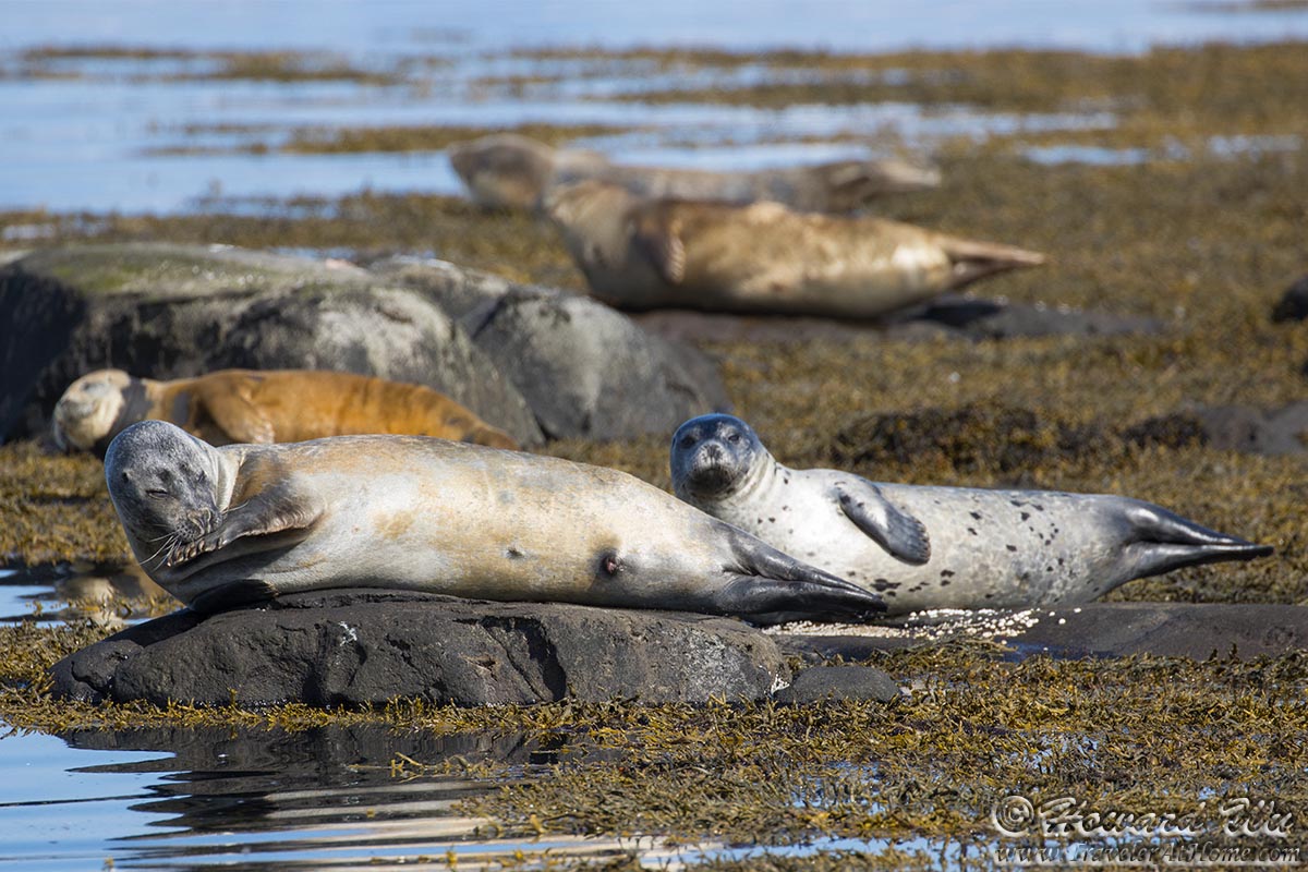
Seals
Just down the road, we stopped at Litlibaer, another turf-house-turned-museum.
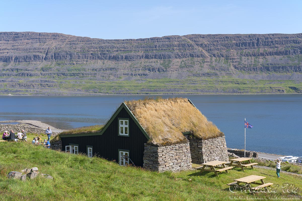
Litlibær
The museum concession served delicious waffles with local made cream and jam. We were happy to take a break and enjoy a snack during this long day of travel.

Waffle
Another stop somewhere, where an abandoned house stood by the fjord.

Abandoned House

Abandoned House
At last we arrived in Hólmavík. The town's church, Holmavíkurkirkja, greeted us with its beautiful rainbow steps.
Hólmavík would be the last town that we stay overnight in the Westfjords. After spending more than 4 days and driving for more than 700 KM, this "trip within a trip" will always be one of our fondest memories.
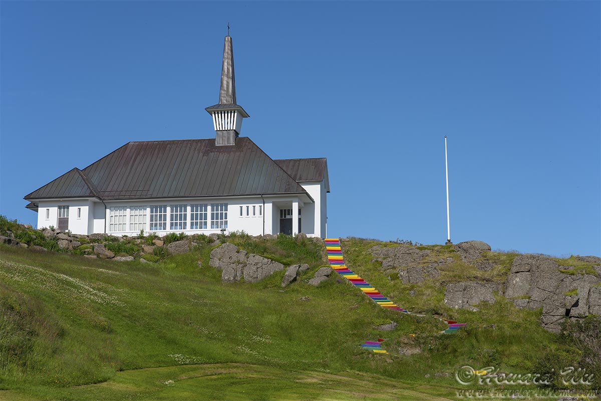
Holmavíkurkirkja
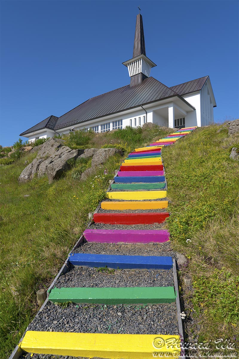
Holmavíkurkirkja
Hólmavík
 Click the image below to return to the index page of 2021 trip to Iceland: