Landscape Pictures
There are many hiking trails in the park, and many more just outside the park's boundary -- the Blue Ridge Parkway begins where the Skyline Drive ends at the southern tip of the park at Rockfish Gap. Of course, if you don't want to put in much work, you can always pull over at the many overlooks along Skyline Drive and the Blue Ridge Parkway; but there are many breathtaking views that require some effort to get to. (Click on each image to see the high-resolution version)
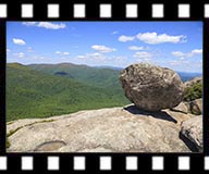
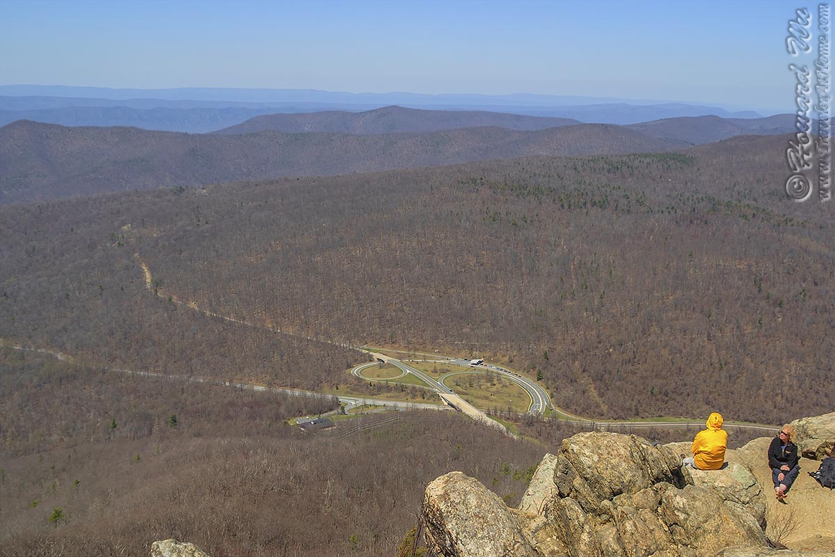
The following is a shot from my very first hike, on April 13, 2003, from Mary's Rock. The season was still early, and the tree were mostly bare, but this was a most memorable hike for me because it marked the beginning of my continuing hiking adventures in the park.
In fact, Mary's Rock still remains one of the favorite hikes in the park (I hiked it 5 times so far), and I especially like to "kick off" my hiking season with a hike to Mary's Rock summit, because it is easily accessibly (the trailhead from Panorama is just by the Thornton Gap entrance), yet still offers a moderately strenuous workout (a 4-mile hike with over 1,200 feet of elevation gain) and a fine view from its summit at a more than respectible height (3,514 feet, by Shenandoah standards anyway).
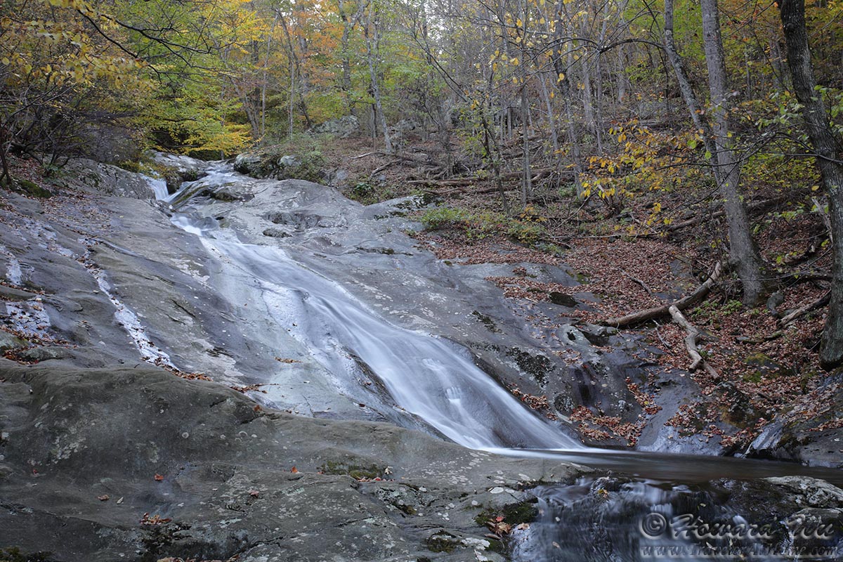
Another one of my favorite hikes is the White Oak Canyon Trail. Along this 6-8 mile trail (depending on which route you take), you can see no few than 6 waterfalls. It can be accessed from the Skyline Drive at Limberlost parking area (you would hike down first, then hike up to return), which gives you the easiest access to the Upper Falls, the second highest waterfall in the park at 86 feet. If you start from the top, the following waterfalls are what you will expect to see, in that sequence.
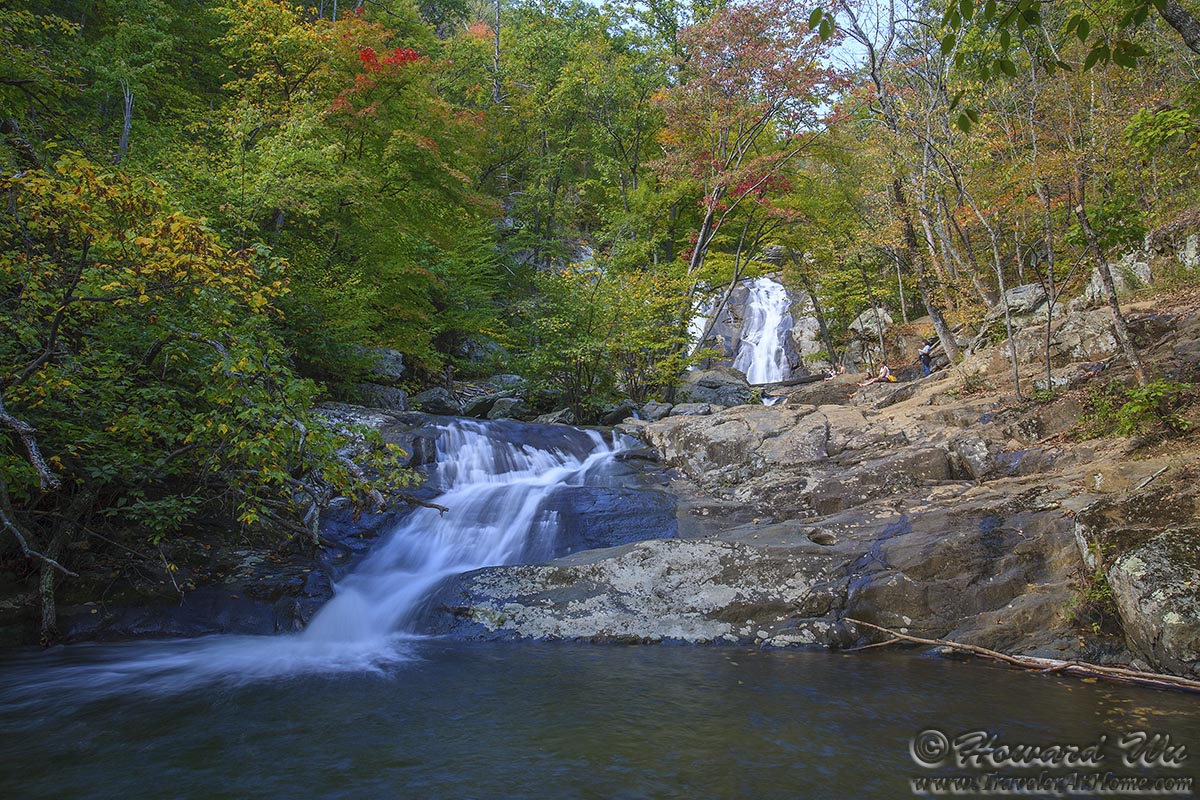
However, in my opinion the best way is to start from the bottom, outside the National Park proper (see trail map here). This way although you will spend much effort hiking up, your returning trip will be easier. In the fall, this hike is especially pretty, with the colorful foliage brightening the way. If you take the White Oak Canyon - Cedar Run Falls loop, you will also get the bonus of seeing Cedar Run Falls.
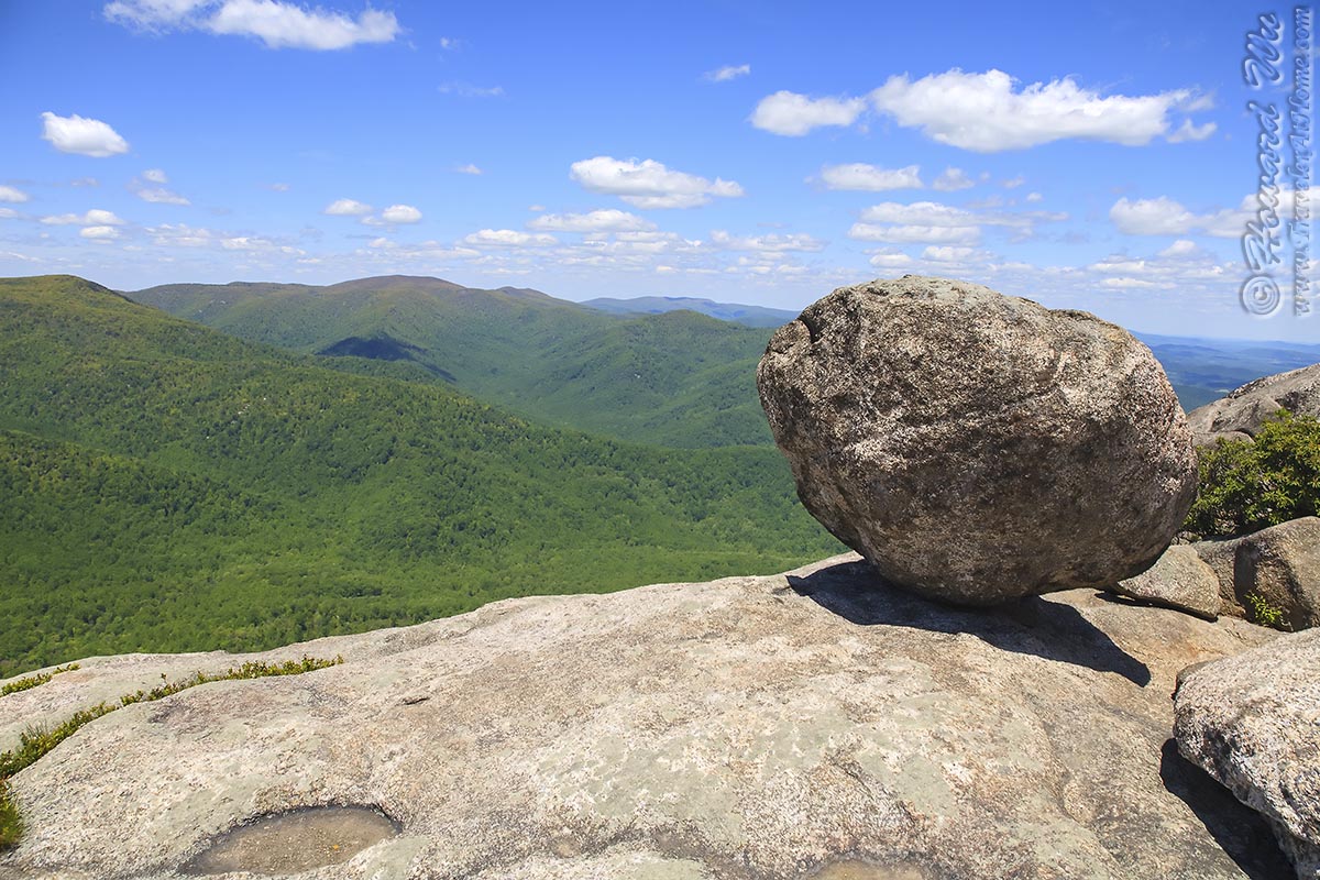
At 4,051 feet (1,235 meters), Hawk's Bill Summit is the highest peak in the park. Not a particularly high compared with the mountains of the west, or even other high peaks of the east, it nonetheless has a commanding view from the heart of the park.
Perhaps the most challenging -- with nearly 3,000 feet of elevation change, and thus most rewarding, hike in the park is the Old Rag Trail (Note: the trailhead is outside the National Park proper, see the link to trail map for details). With craggy peaks, precarious rock formations and even a natural staircase, not to mention the panorama from the top, there is breathtaking view at every turn. It is by far the most famous and popular hike in the mid-Atlantic region.
A few more
Mary's Rock (April 13, 2003)
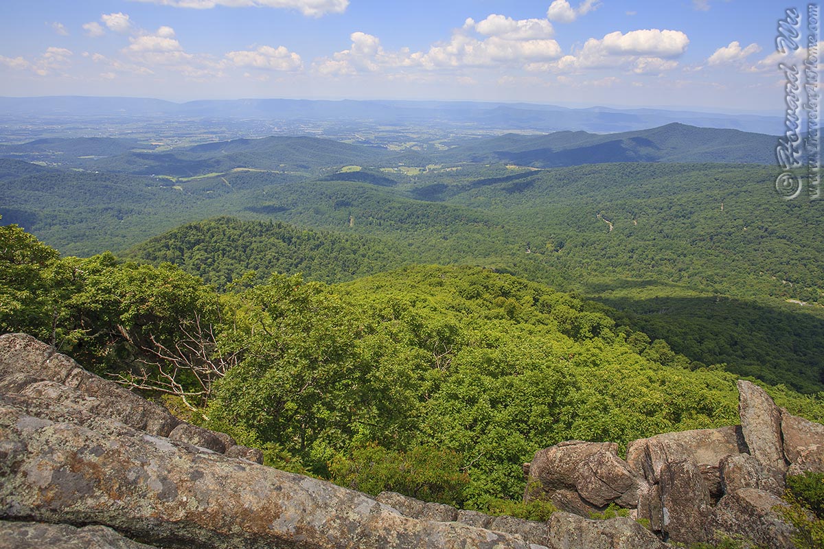
Mary's Rock (August 5, 2006)
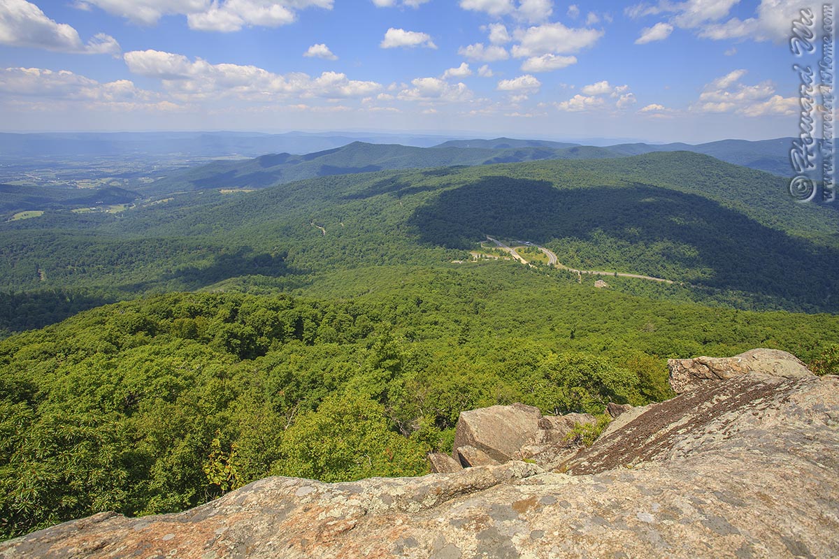
Mary's Rock (August 5, 2006)
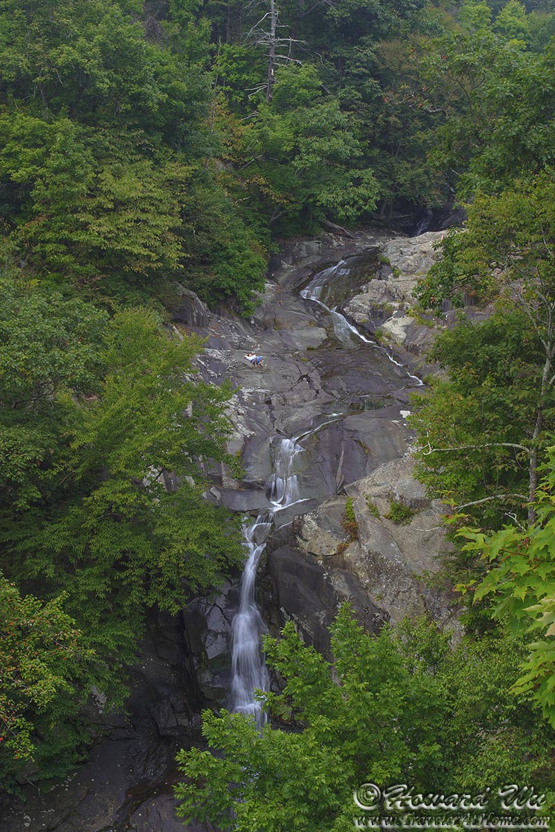
White Oak Canyon (Upper Falls, September 10, 2005)
White Oak Canyon (Upper Falls, September 10, 2005)
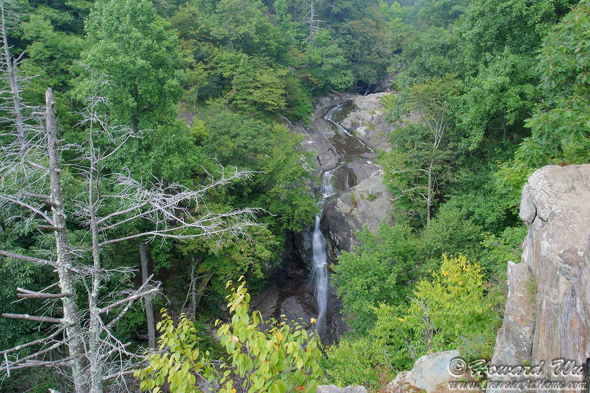
White Oak Canyon (One of the waterfalls, September 10, 2005)
White Oak Canyon (One of the waterfalls, September 10, 2005)
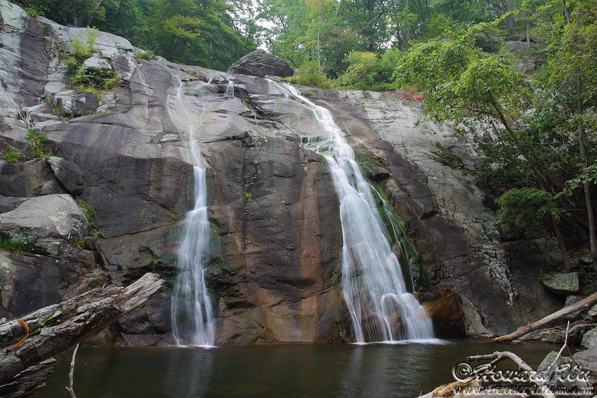
White Oak Canyon (One of the waterfalls, September 10, 2005)
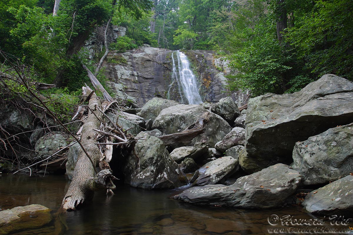
White Oak Canyon (Lower Falls, October 9, 2010)
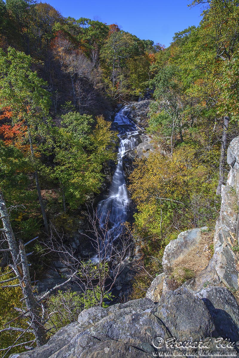
White Oak Canyon (Upper Falls, October 9, 2010)
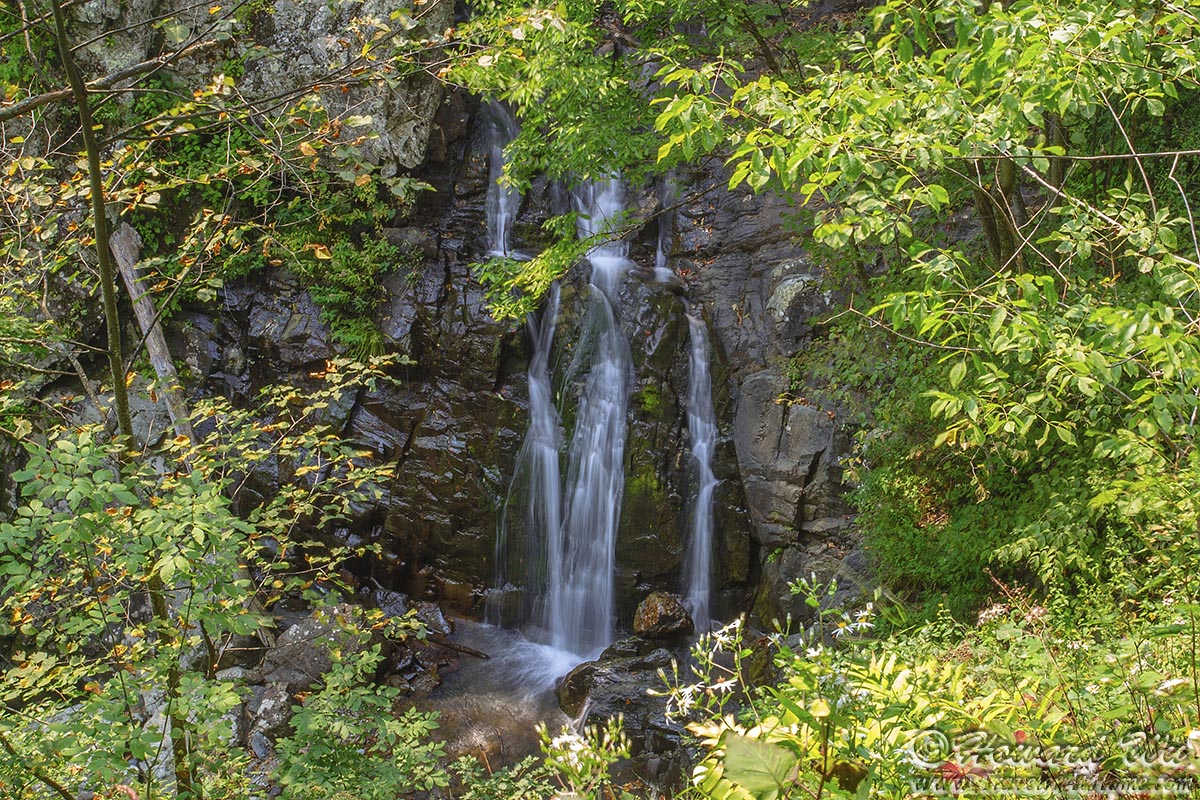
Cedar Run Falls (October 9, 2010)
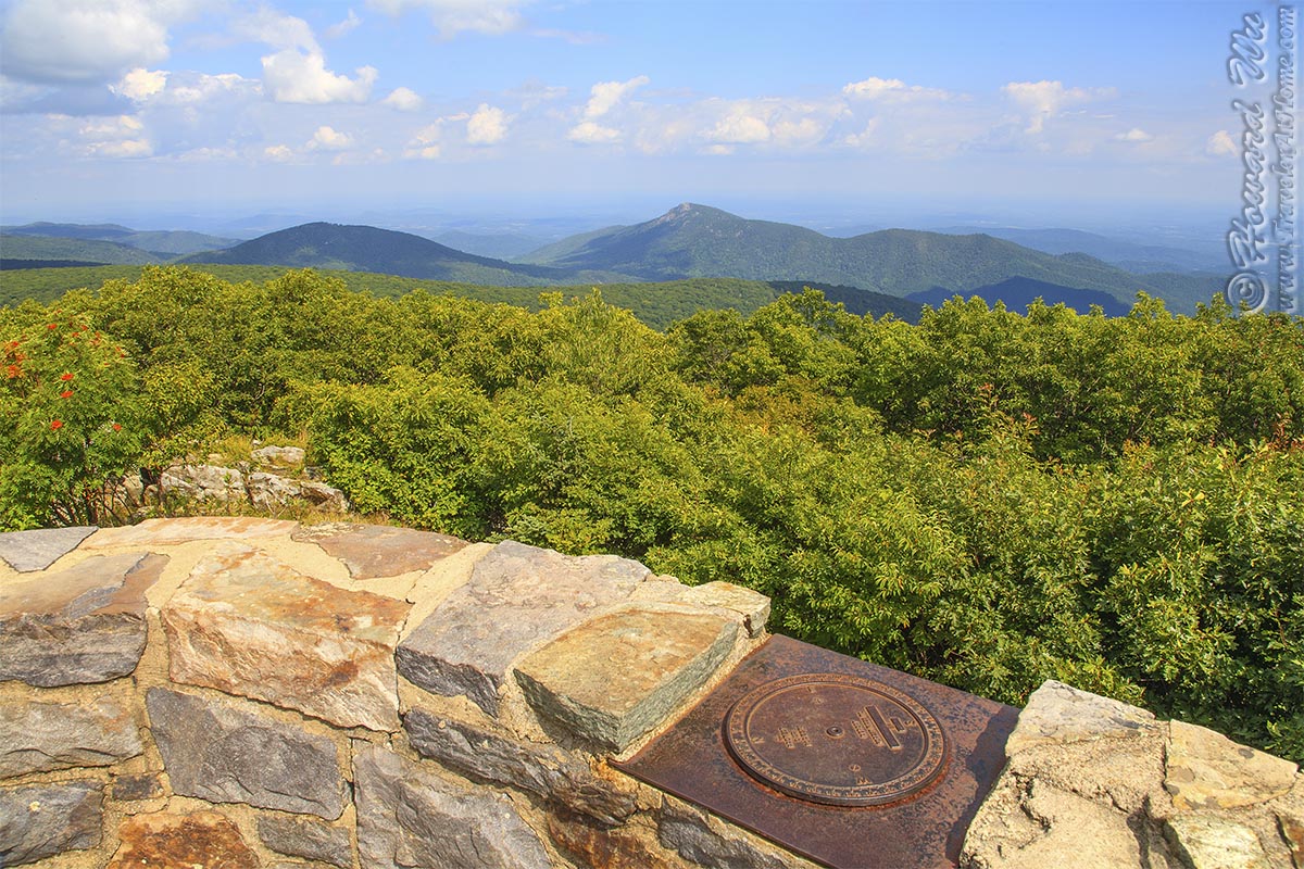
Hawk's Bill Summit (August 24, 2008)
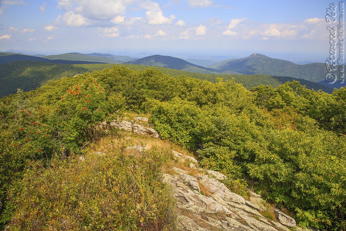
Hawk's Bill Summit (August 24, 2008)
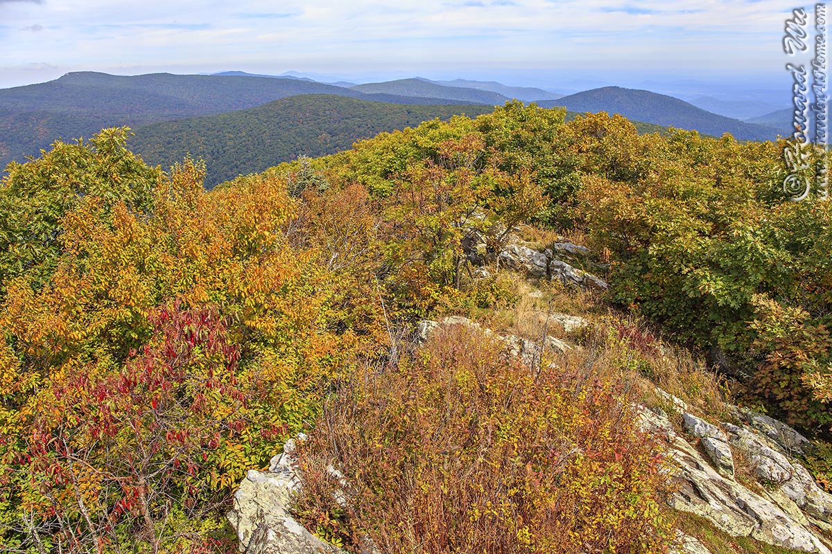
Hawk's Bill Summit (September 28, 2014)
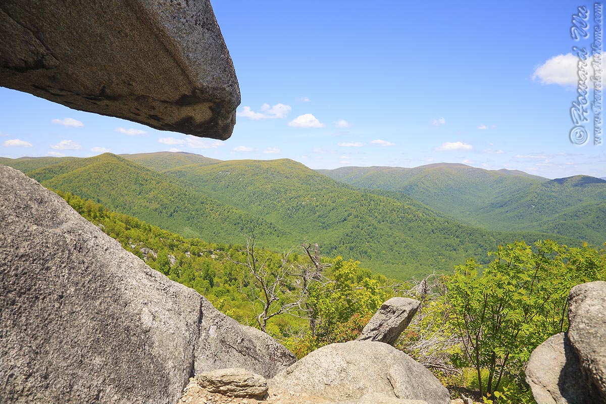
Old Rag Mountain (May 24, 2008)
Old Rag Mountain (May 24, 2008)
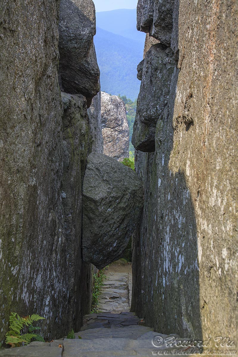
Natural Staircase (looking down, August 26, 2006)
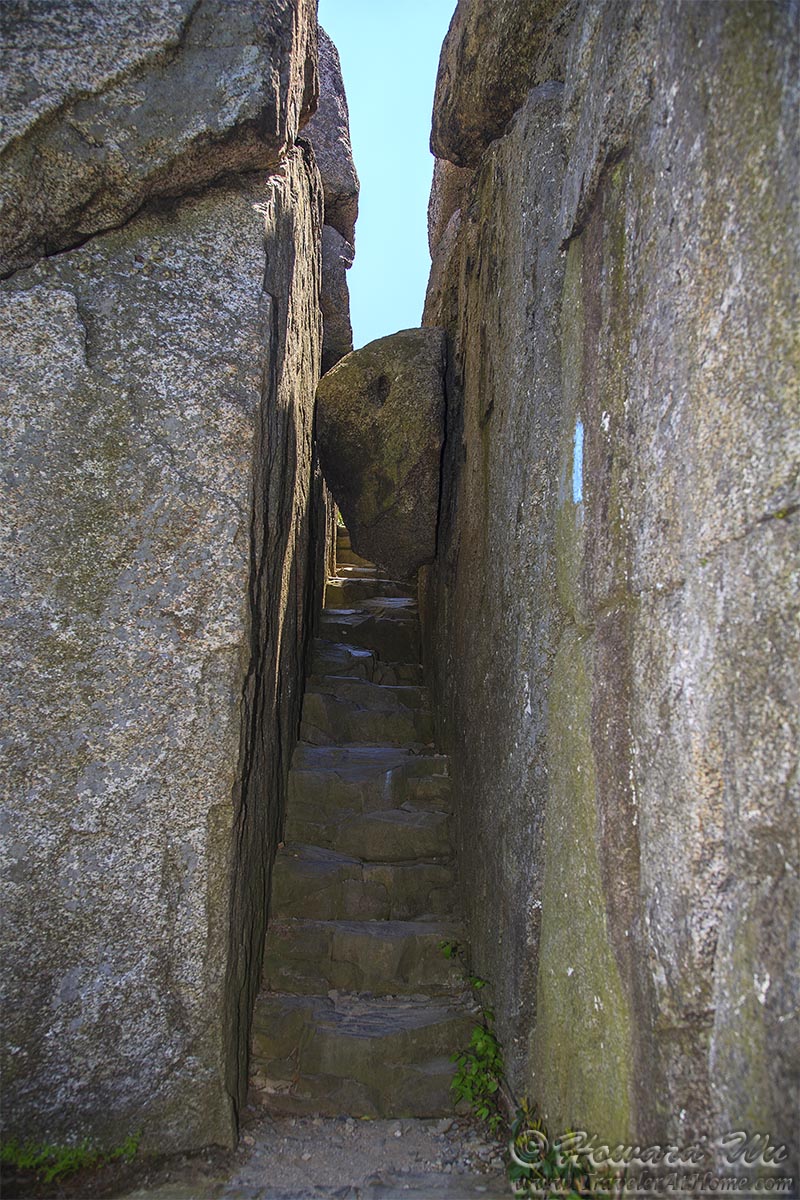
Natural Staircase (looking up, May 24, 2008)
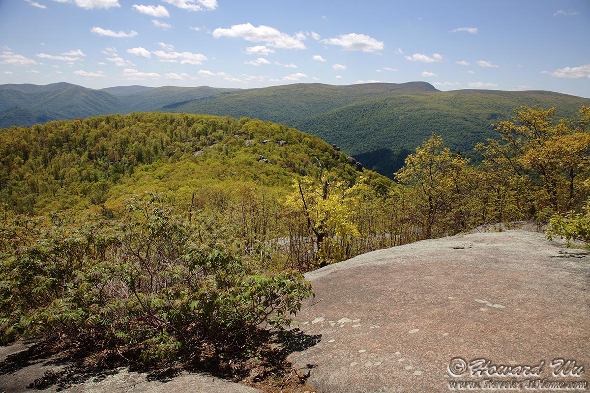
View from the top of Old Rag Mountain
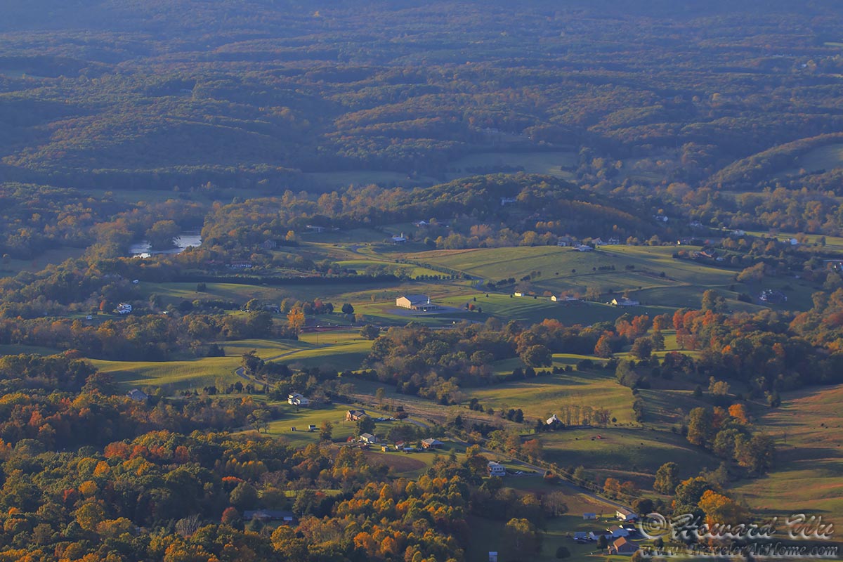
Shenandoah Valley
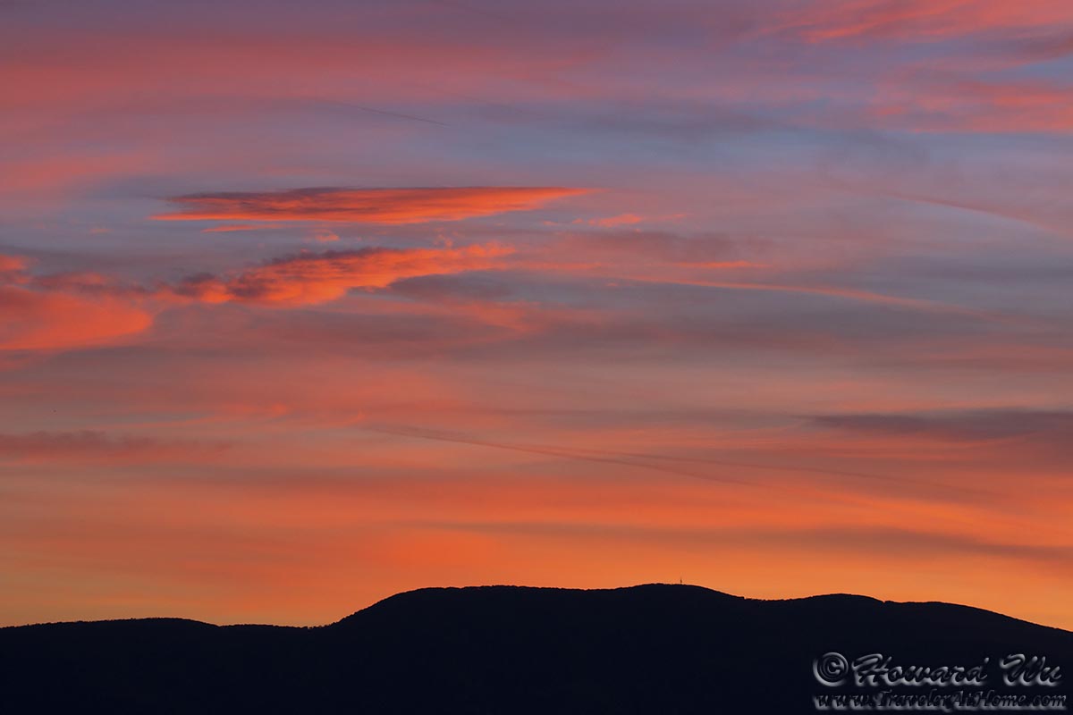
Sunset
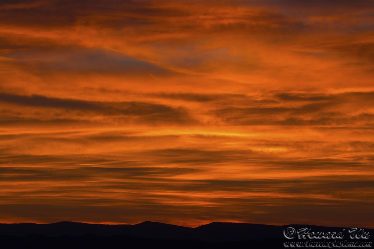
Sunset
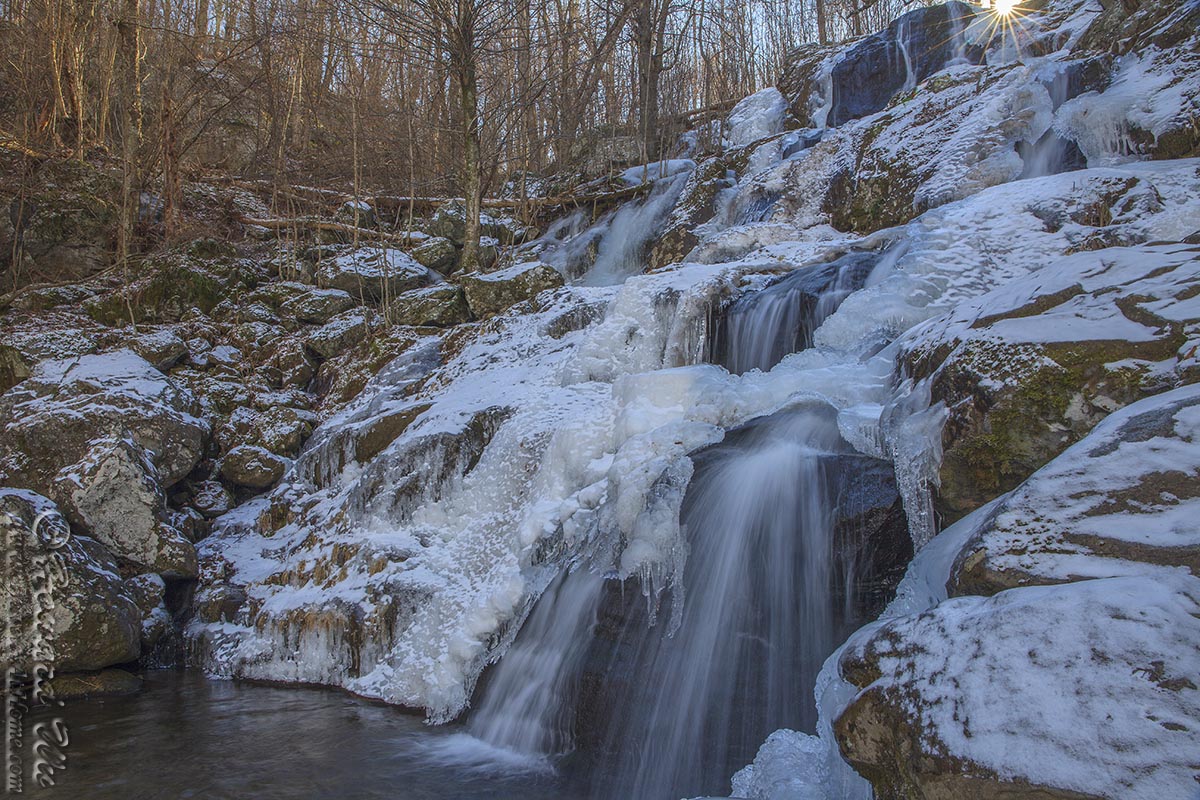
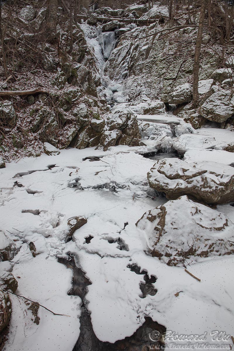
Dark Hollow Falls in winter

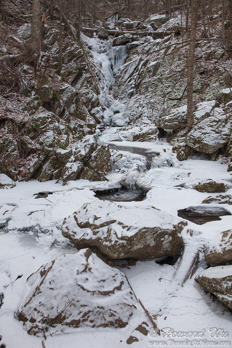
Dark Hollow Falls in winter
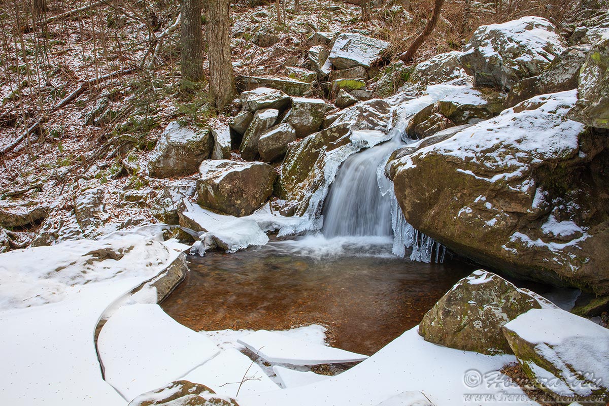
Dark Hollow Falls in winter
Dark Hollow Falls in winter
Dark Hollow Falls in winter
Dark Hollow Falls in winter
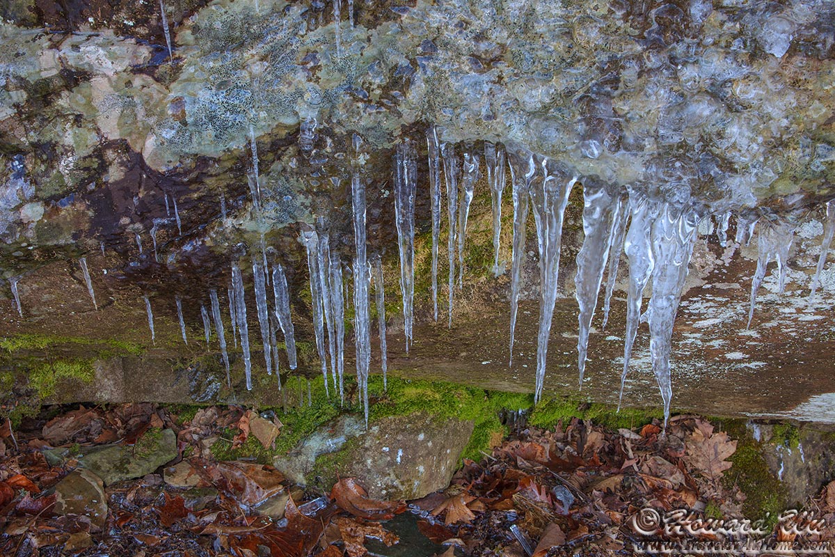
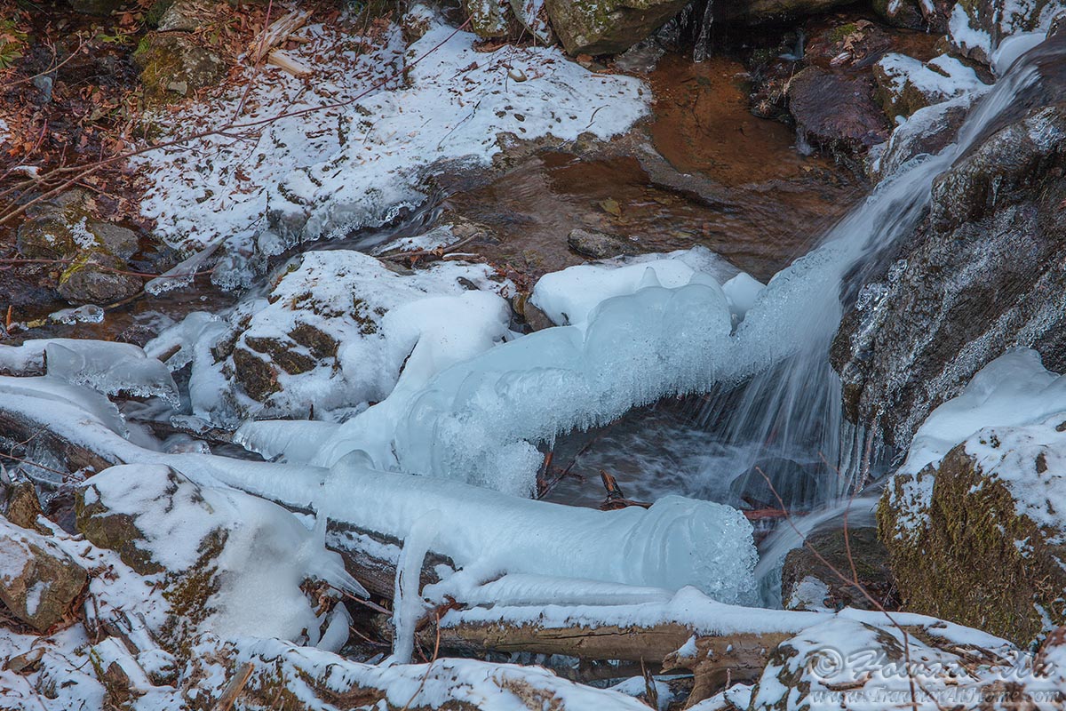
Icicles
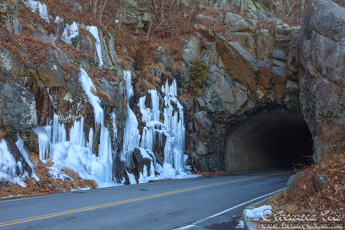
Mary's Rock Tunnel in winter